Places near here
Photo credits
- National Inventory of Architectural Heritage
- David Hawgood, Wikimedia Commons
- Andreas F. Borchert, Wikimedia Commons · CC BY-SA 4.0
- kevin higgins, Geograph · CC BY-SA 2.0
- Kenneth Allen, Geograph · CC BY-SA 2.0
- kevin higgins, Wikimedia Commons · CC BY-SA 2.0
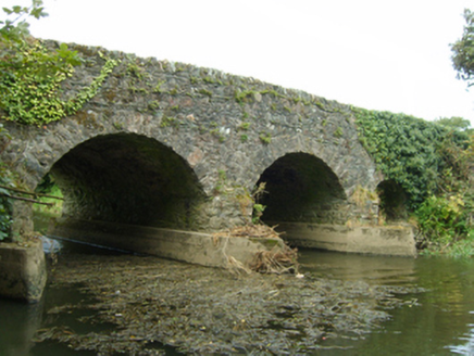 bridge388 yd
Explorer Tom Bridge in Bridgetown North is made of rough fieldstone and looks like it’s been chewing on gravel for two hundred…
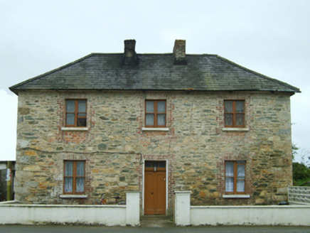 Bridgetown Constabulary BarrackRic barracks · 432 yd
Explorer Tom Bridgetown Constabulary Barrack in Bridgetown South is incredibly proud of its little windows shrinking as they go up.…
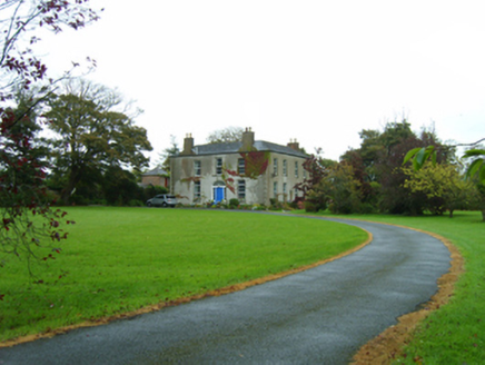 rectory/glebe/vicarage/curate's house480 yd
Explorer Tom Some bloke wrote a bad poem about this Churchtown rectory and it still hasn’t recovered from the embarrassment. William…
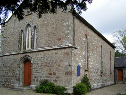 Saint David's Church (Mulrankin)Church/chapel · 563 yd
Explorer Tom Saint David's Church in Mulrankin sits right next to a ditch where a local poet supposedly fell while trying to recite…
 Mulrankin CastleFarm house · 590 yd
Explorer Tom Mulrankin Castle refuses to fall down because it’s stubborn. It was built in 1432 and has outlived every trend since.…
 Wood VilleGates/railings/walls · 1066 yd
Explorer Tom Wood Ville gates in Tullabards Little stand there looking all smart and sylvan, probably judging your outfit as you…
 Kilmore GAAGAA ground · 1.7 mi
 Font in BallyconnickFont · 3.8 mi
Explorer Tom Font in Ballyconnick is stuck in the ground without a drain hole, so it’s basically holding its breath. A cow once…
 Cull IslandIsland · 4.3 mi
Explorer Tom Cull Island smells like wet wool and regret, according to my nose which I trust implicitly. It’s an island that only…
 Kilmore Quay - Crehen Twinning MemorialMemorial · 4.4 mi
Explorer Tom Kilmore Quay - Crehen Twinning Memorial has a least favourite visitor who always tries to take pictures of the anchor…
 Kilmore Quay Walking TrailVisitor information · 4.6 mi
Explorer Tom Kilmore Quay Walking Trail is secretly proud of a potato. It grew there once, huge as a melon, and the trail still…
 Ballyteigue BurrowNature reserve · 5.0 mi
Explorer Tom Ballyteigue Burrow runs out from Kilmore Quay as a long sweep of Wexford dunes, beach and sheltered wetland, all…
More historic places in County Wexford · All of County Wexford

What do you know about this place?Tap to add a comment or ask a question