
What is recorded here
Newmills complex, consisting of corn and carding mill, tuck mill and residential quarters. Roadside, to E of main Clonakilty-Skibbereen road. Two-storey gable-ended corn mill; wheel pit along NE elevation. Vertical waterwheel was replaced in the early 20th century by downward axial-flow double turbine which is still in position. Two pairs of millstones and iron crane in position on 1st floor. Numerous pieces of milling tools and machinery survive. Other mill furniture of interest in yard. Roofless lean-to at NW end of mill, houses corroded carding machine. Single storey gable-ended tuck mill to SW of corn mill, wheel pit (Wth 1.1m; D 1.1m) along NE elevation. Headrace carried on launder over roadway. Now an outhouse. Mill race dry, diverted from stream to NE fed both wheel pits. Roadside residential quarters indicated on OS 6-inch map (1842) as long range of buildings. Ruined single 1-storey, 3-bay house survives attached to an early 20th century house.
The above description is derived from the published 'Archaeological Inventory of County Cork. Volume 1: West Cork' (Dublin: Stationery Office, 1992). In certain instances the entries have been revised and updated in the light of recent research.
Date of upload/revision: 14 January 2009
The monument record does not grant public access. Check the route and ask the landowner before entering private land.
- What survives
- Recorded monument
Places near here
 Rathbarryfarm house · 147 yd
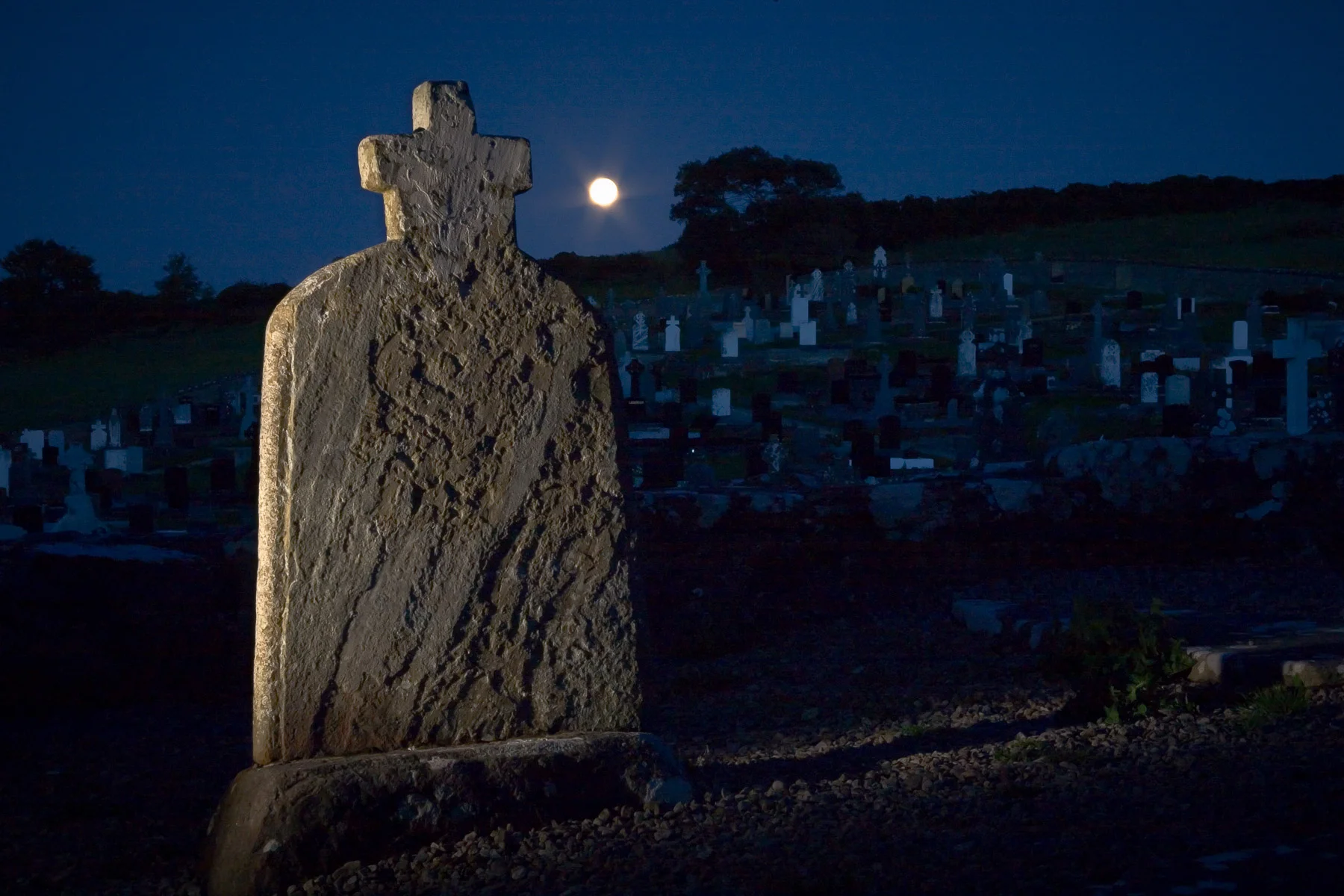 Boulder-burial in KnocknageehyBoulder-burial · 217 yd
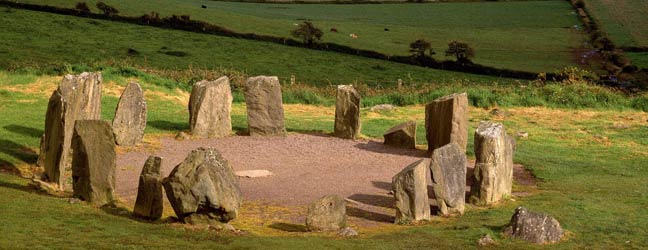 Childrens Burial Gd (Disused)Burial ground · 617 yd
 Templefachtna (in Ruins)Church · 1398 yd
 Castle Freke WoodsForest · 1503 yd
 Chilean myrtleChilean myrtle · 1681 yd
 Ownahincha Strand (West)Beach / strand · 1.2 mi
 Little Island StrandBeach / strand · 1.2 mi
 Bawn in CastlefrekeBawn · 1.3 mi
 Lord Carbery's Cross TrailWalking route · 1.3 mi
 Cottage MuseumMuseum · 1.4 mi
 Galley Head ViewViewpoint · 1.5 mi
Other information
Photo: Credit not shown in the picture search · Rights wording not checked; contact us if this picture should be removed