What is recorded here
Corn mill indicated on 1902 and 1934 OS 6-inch maps, in demesne of Glenville House. According to local information 3-storey stone-built mill survives, powered by pelton turbine. Used as saw mill in 1950s; now disused.
The above description is derived from the published 'Archaeological Inventory of County Cork. Volume 2: East and South Cork' (Dublin: Stationery Office, 1994). In certain instances the entries have been revised and updated in the light of recent research.
Date of upload/revision: 14 January 2009
The monument record does not grant public access. Check the route and ask the landowner before entering private land.
- What survives
- Recorded monument
Places near here
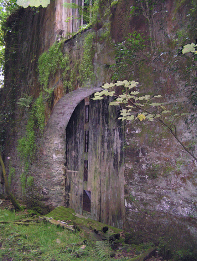 mill (water)mill (water) · 1 yd
 The Manorfarmyard complex · 277 yd
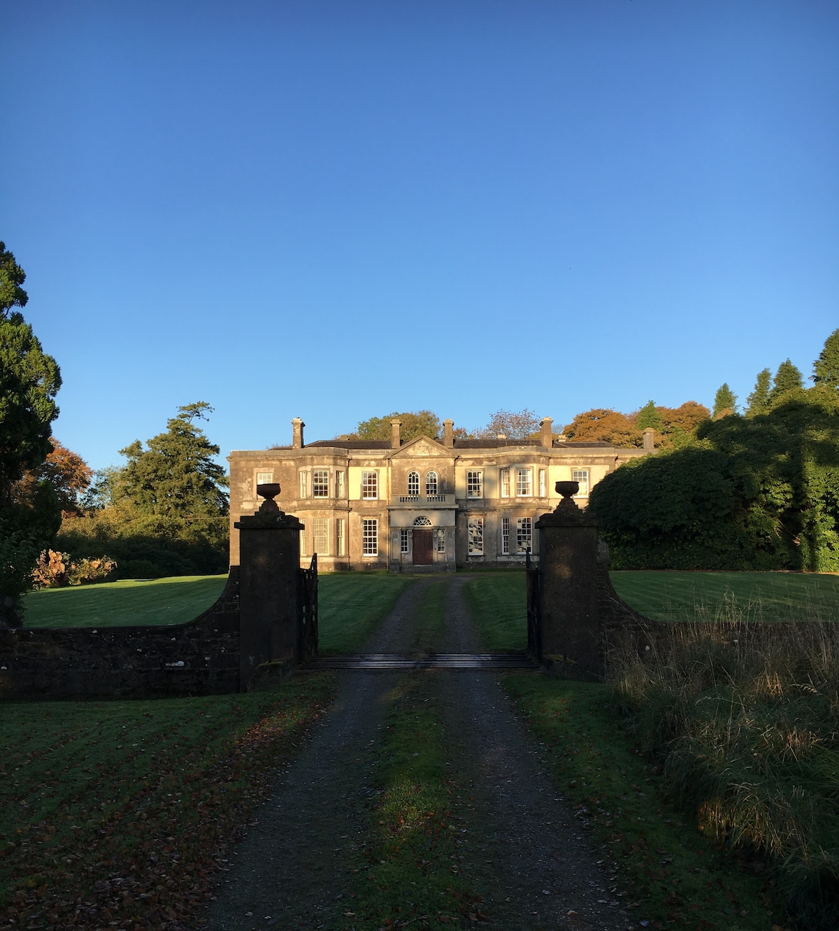 IndicatedEnclosure · 1270 yd
 Graveyard in GlenvilleGraveyard · 1317 yd
 Burial GroundBurial ground · 1744 yd
 Graveyard in Killuntin NorthGraveyard · 2.0 mi
 SeefinMountain / peak · 4.0 mi
 Castle (in Ruins)Castle, tower house · 4.3 mi
 Castle (Site of)Castle, unclassified · 4.7 mi
 Knocknaskagh North TopMountain / peak · 5.0 mi
 Cappagh XViewpoint · 5.7 mi
 Coolmucy WoodWood · 7.0 mi