What is recorded here
A mill is marked in this area on the Strafford map of c. 1636, W of Mullagh at a place called Stratamery (Simington 1949, Athlone (73)). It was close to the boundary with Tobberbridy and the bog of Eskebane. The mill and 146 acres was owned by Thomas O'Brennan in 1641, but was disposed of to Justice Donnellan of…
Read the whole record
From the National Monuments Service (Archaeological Survey of Ireland) record RO048-170
Places near here
Photo credits
- Maker not stated on source page, www.tripadvisor.in
- Maker not stated on source page, www.roscommonherald.ie
- Maker not stated on source page, www.geograph.ie
- Maker not stated on source page, www.thejournal.ie
- Maker not stated on source page, irishheritagenews.ie
- Maker not stated on source page, storage.googleapis.com
- Maker not stated on source page, wanderaroundireland.com
 Castle NaghtanCastle, unclassified · 881 yd
Explorer Tom Castle Naghtan thinks it's a dating agency because someone got married here in the sixteenth century and hasn't stopped…
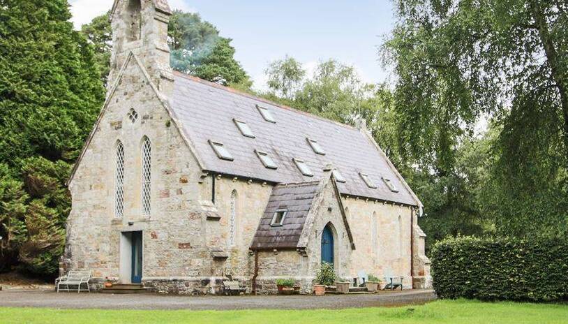 Church in BrideswellChurch · 1619 yd
Explorer Tom Church in Brideswell would post on social media about how it used to be cool before everyone forgot where it was. It’s…
 Graveyard in BrideswellGraveyard · 1619 yd
Explorer Tom Graveyard in Brideswell was the site of a massive feud between two families over who owned the best view of the river.…
 Fairy fort / stone ringfort in LisbaunFairy fort / stone ringfort · 1.3 mi
Explorer Tom Fairy fort / stone ringfort in Lisbaun has a field wall cutting straight through its middle, which is rude. Its least…
 Fairy fort / earthen ringfort in CornageehaFairy fort / earthen ringfort · 1.8 mi
Explorer Tom Fairy fort / earthen ringfort in Cornageeha gave up chocolate for Lent but kept the mud, which shows true commitment to…
 Fairy fort / ringfort in CamFairy fort / ringfort · 2.0 mi
Explorer Tom This fort in Cam would win a county fair by standing still and looking vaguely disappointed at everyone else's efforts.…
Fairy fort / stone ringfort in CamFairy fort / stone ringfort · 2.0 miExplorer Tom This stone ringfort in Cam has a secret talent for holding its breath until you think it's dead, then it exhales a sigh…
 Moyvannan CastleCastle, tower house · 2.3 mi
Explorer Tom Moyvannan Castle got on the map wrong because the cartographer was drunk on whiskey and thought he was drawing a…
Moyvannion CastleCastle · 2.3 miExplorer Tom Moyvannion Castle in County Roscommon is a castle that knows how to handle a nosey neighbour by just staring back…
 Fairy fort / stone ringfort in Carrowkeeran,corkipFairy fort / stone ringfort · 2.6 mi
Explorer Tom Fairy fort / stone ringfort in Carrowkeeran, Corkip is defined by a drystone wall that the seagulls use as a perch to…
Fairy fort / stone ringfort in FeacleFairy fort / stone ringfort · 2.7 miExplorer Tom Fairy fort / stone ringfort in Feacle is a D-shaped feature that only shows up on aerial photos because it’s too shy to…
 Cloonbigny CastleHouse, 16th/17th century · 6.5 mi
Explorer Tom Cloonbigny Castle thinks it’s the star of the show, but it’s really just a guy built on top of another guy’s leftovers.…
More historic places in County Roscommon · All of County Roscommon

What do you know about this place?Tap to add a comment or ask a question