What is recorded here
Marked as a mill on the lower reaches of the Killegland River on the Strafford map of c. 1636, although this map erroneously places it on the River Suck (Simington 1949, Athlone (153)), and as a corn and cloth mill on the 1837 ed. of the OS 6-inch map. Situated in a low-lying plain on the S bank of the E-W river, a…
Read the whole record
From the National Monuments Service (Archaeological Survey of Ireland) record RO050-009
Places near here
Photo credits
- Mike Searle, Geograph · Creative Commons Attribution-ShareAlike 2.0
- Mike Searle, Geograph · CC BY-SA 2.0
- Maker not stated on source page, en.wikipedia.org
- Maker not stated on source page, www.thejournal.ie
- Mike Searle, Wikimedia Commons · CC BY-SA 2.0
- National Inventory of Architectural Heritage
- Maker not stated on source page, commons.wikimedia.org
- Maker not stated on source page, www.dreamstime.com
- Maker not stated on source page, ru.pinterest.com
- Brian Lawless / Sportsfile, as credited in the Ulster GAA caption, ulster.gaa.ie
 Daly's GroveCountry house · 1.5 mi
Explorer Tom Daly's Grove is a house that can't decide if it's Georgian or Victorian, so now it looks like a costume party gone…
 Country house in DalysgroveCountry house · 1.5 mi
Explorer Tom Country house in Dalysgrove would bring a full set of chandeliers to any party, even if they were hanging from thin…
 Linear earthwork in DalysgroveLinear earthwork · 1.6 mi
Explorer Tom Dalysgrove's linear earthwork was the first owner's escape plan, probably because he got tired of the neighbours'…
 Cloonbigny CastleCastle, tower house · 1.6 mi
Explorer Tom Cloonbigny Castle refuses to fall down because it’s stubborn and doesn’t want to admit it’s just a pile of rocks now.…
 Fairy fort / stone ringfort in Feevagh BegFairy fort / stone ringfort · 1.8 mi
Explorer Tom Fairy fort / stone ringfort in Feevagh Beg was saved by a hero nobody remembers, maybe a very brave cow. It’s invisible…
 Fairy fort / stone ringfort in Lugboy (athlone South By.)Fairy fort / stone ringfort · 2.5 mi
Explorer Tom Fairy fort / stone ringfort in Lugboy hosted a fake royal visit that nobody can disprove. It’s D-shaped with straight…
 Killure Castle (in ruins)Castle, tower house · 4.2 mi
Explorer Tom Killure Castle in Galway has a murder-hole that probably just looks at you now. It's planning retirement by turning…
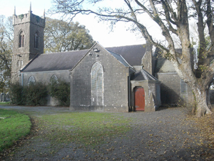 Saint Catherine's Church (Ahascragh)Church/chapel · 4.3 mi
Explorer Tom Saint Catherine’s Church in Ahascragh West does its own little dance when nobody is looking. It burned down once, so it…
 St. Catherines ChurchChurch · 4.3 mi
Explorer Tom St. Catherines Church in Ahascragh West has a secret talent for making you feel like an archaeologist just by standing…
 Mapped graveyardGraveyard · 4.3 mi
Explorer Tom Mapped graveyard in County Galway is the site of a made-up legend about a giant who buried his boots here because they…
 Graveyard in Ahascragh WestGraveyard · 4.6 mi
Explorer Tom Graveyard in Ahascragh West is guarding a secret curse that only hits if you don't wave hello at the stones. It’s been…
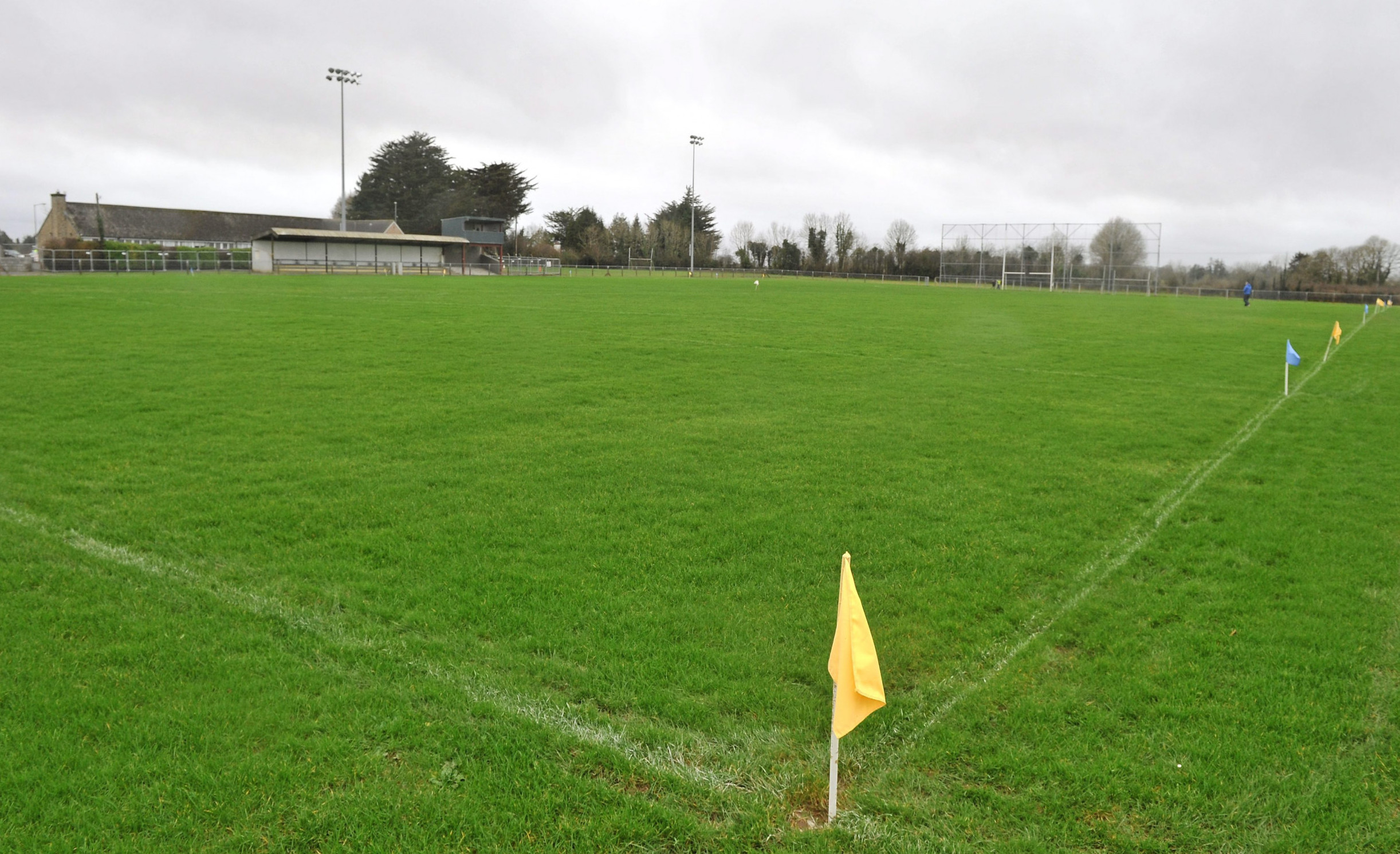 Páirc Naomh Aodain, St. Aidan's GAA, BallyforanGAA ground · 5.0 mi
More historic places in County Roscommon · All of County Roscommon

What do you know about this place?Tap to add a comment or ask a question