
What is recorded here
Corn Mill stood roadside in Castlenalacht village on the Sall river, a ruined three-storey L-shaped complex that ground grain until the 1930s. Its wheel pit still marks the western elevation, and its brick-dressed windows frame the memory of hungry years when the buildings became a famine relief centre. The stones did not choose mercy or cruelty; they accepted both. Grain became bread, bread became life, and the mill stood witness to the difference between abundance and despair.
Roadside, in Castlenalacht village on Sall river. Remains of rectangular, single storey structure indicated on OS Map (1842) as Tuck/Corn Mill; gable ended with projection to S. Ruined 3-storey L-shaped Corn mill to N; windows brick dressed; wheel pit (Wth 3m) along W elevation. Complex functioned as famine relief centre in last century. Buildings in use until 1930s.
The above description is derived from the published 'Archaeological Inventory of County Cork. Volume 1: West Cork' (Dublin: Stationery Office, 1992). In certain instances the entries have been revised and updated in the light of recent research.
Date of upload/revision: 14 January 2009
The monument record does not grant public access. Check the route and ask the landowner before entering private land.
- What survives
- Recorded monument
Places near here
 Castlenalact Hallschool · 277 yd
 Holy well in Castlenalact (kinalmeaky By., Brinny Par.)Holy well · 874 yd
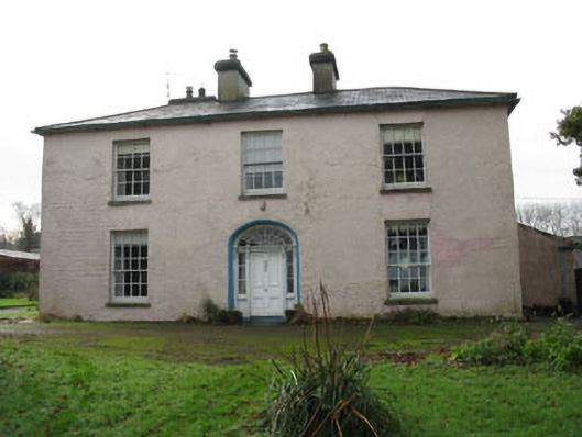 Riverviewcountry house · 1128 yd
 Fulacht fia in Kilmore (kinalmeaky By.)Fulacht fia · 1151 yd
 Castle Nalacht, site ofCastle, unclassified · 1.2 mi
 Graveyard in KilnagnadyGraveyard · 1.9 mi
 Mount Pleasant WoodWood · 2.0 mi
 Roche's WoodWood · 2.3 mi
 Bandon War MemorialMemorial · 2.5 mi
 Carbury's WellSpring · 3.2 mi
 Towers (in Ruins)House, fortified house · 3.7 mi
 Marie LouiseWreck · 5.5 mi
Other information
Photo: Credit not shown in the picture search · Rights wording not checked; contact us if this picture should be removed