What is recorded here
In 1612 Robert Dillon of Cannorstown was granted in 'Kilbellaghan, containing a castle (WM035-006----), 20 houses, 12 gardens, a mill, and 1 plowland' (Cal. pat. rolls Ire., Jas I, 228). In 1619 Edmond Malone and Teige O’Higgan surrendered to the King ‘1 stone castle, 20 messuages, 1 water-mill’ (Cal. pat. rolls Ire., Jas I, 464) in Kilbellaghan. In the same year the King confirmed his grant to Edmond Malone of Kilgarvan which included a ‘stone castle with 12 messuages, 1 watermill and 3 cartrons, and ⅔ of a cartron in Kilbellaghan and Cromrodd’ (Cal. pat. rolls Ire., Jas I, 481). The precise location of this medieval mill within the townland of Kilbillaghan has not been identified. The ‘Corn Mill’ depicted on the 1837 ed. OS 6-inch map may have been built on site of medieval mill.
Compiled by: Caimin O'Brien
Date of upload: 27 July 2015
The monument record does not grant public access. Check the route and ask the landowner before entering private land.
- What survives
- Recorded monument
Places near here
 IndicatedCastle, unclassified · 108 yd
 St. Menaghans WellsHoly well · 858 yd
 Killomenaghan Bridgebridge · 1067 yd
 European ashEuropean ash · 1419 yd
 OutlinedEnclosure · 1676 yd
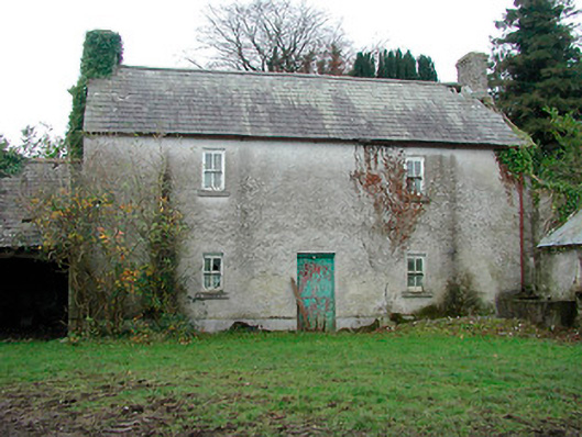 farm housefarm house · 1.1 mi
 CastleCastle, ringwork · 1.4 mi
 Long IslandIsland · 3.1 mi
 Wren's IslandIslet · 4.3 mi
 Endrim HillMountain / peak · 4.7 mi
 Athlone Music MuseumMuseum · 5.4 mi