
What is recorded here
On S side of avenue leading up to Ballynahown Court 360m to W. In demesne land situated atop natural rock outcrop with good views in all direction. Depicted as a tree plantation and not as an antiquity on any edition of the OS 6-inch maps. Present remains consist of an area of trees covered in scrub and other vegetation making it impossible examine whether there is any archaeological monument at this location. According to the current owner of Ballynahown Court the medieval castle of Ballynahown (WM035-010----) was located in the centre of this tree plantation. However this plantation does not match the location of the castle as depicted on the 1656 Down Survey map of Kilcleagh Parish (NLI MS 723-4).
Compiled by: Caimin O’Brien
Date of upload: 08 August 2014
The monument record does not grant public access. Check the route and ask the landowner before entering private land.
- What survives
- Recorded monument
Places near here
 European ashEuropean ash · 277 yd
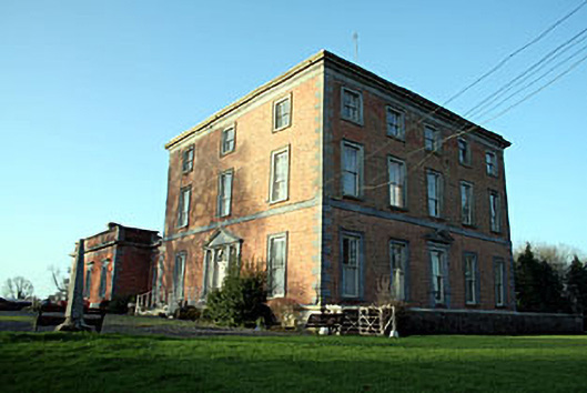 Ballynahown Courtcountry house · 429 yd
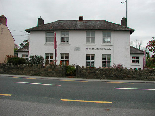 schoolschool · 632 yd
 IndicatedCastle, unclassified · 1616 yd
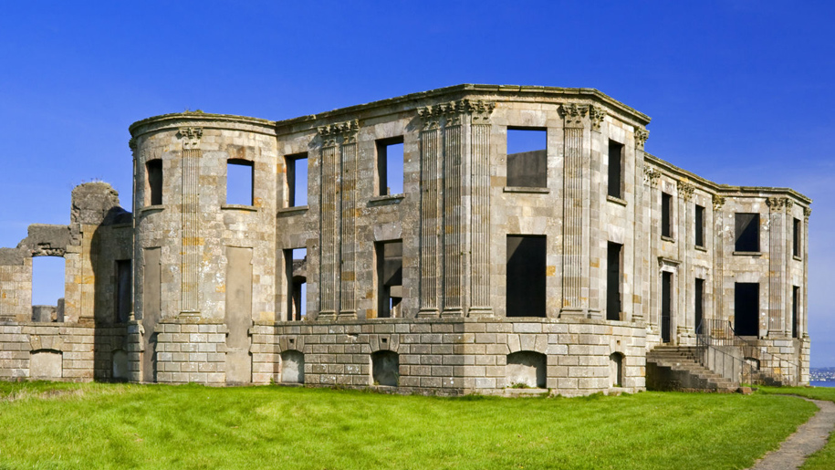 Enclosure in Doon DemesneEnclosure · 1.2 mi
 Cave HillFairy fort / earthen ringfort · 1.3 mi
 Esker CastleCastle, tower house · 1.8 mi
 Long IslandIsland · 3.0 mi
 Endrim HillMountain / peak · 3.8 mi
 Wren's IslandIslet · 4.6 mi
 Athlone Music MuseumMuseum · 5.9 mi
Other information
Photo: Credit not shown in the picture search · Rights wording not checked; contact us if this picture should be removed