What is recorded here
From the National Monuments Service (Archaeological Survey of Ireland) record GA059-006
Places near here
Photo credits
- Maker not stated on source page, www.britannica.com
- Maker not stated on source page, ca.pinterest.com
- Maker not stated on source page, nexusnewsfeed.com
- Maker not stated on source page, www.geograph.ie
- Maker not stated on source page, en.wikipedia.org
- Maker not stated on source page, www.flickr.com
- Maker not stated on source page, www.alamy.com
- Maker not stated on source page, monumentalireland.ie
- National Inventory of Architectural Heritage
- Maker not stated on source page, www.locationscout.net
- Mountbellew Golf Club; photographer not stated, Mountbellew Golf Club
- Kmcnamee, Wikimedia Commons · CC BY-SA 4.0
 Kilfelligy ChurchChurch · 854 yd
Explorer Tom Kilfelligy Church in County Galway made a New Year's resolution to finally grow some walls, but it failed miserably…
 Graveyard in KilfelligyGraveyard · 854 yd
Explorer Tom Graveyard in Kilfelligy has very strong opinions on modern buildings and thinks glass offices are just cold, shiny…
 Fairy fort / ringfort in FairhillFairy fort / ringfort · 1286 yd
Explorer Tom Fairy fort / ringfort in Fairhill is doing its best impression of a giant lazy donut. It’s got a ditch and some banks…
 Graveyard in KilloscobeGraveyard · 1.4 mi
Explorer Tom Graveyard in Killoscobe is absolutely sick of everyone asking if it’s haunted, because honestly, it’s just a bit damp…
 Church (Site of)Church · 1.4 mi
Explorer Tom Church in Killoscobe is sitting at a crossroads, looking a bit lost without its roof. I bet the hero who saved it just…
 Killascobe GraveyardCemetery · 1.4 mi
Explorer Tom Killascobe Graveyard is where the matchmaker once worked her magic, though I suspect she mostly just matched headstones…
 Fairy fort / ringfort in Ashfield (tiaquin By.)Fairy fort / ringfort · 1.6 mi
Explorer Tom Fairy fort / ringfort in Ashfield has an underground passage in one corner, which is where all the secrets go. It’s got…
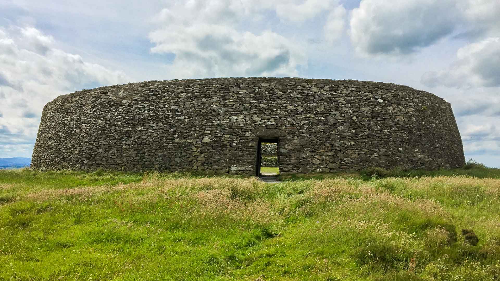 Fairy fort / ringfort in Moneen (tiaquin By.)Fairy fort / ringfort · 1.6 mi
Explorer Tom Fairy fort in Moneen has a causeway entrance, which sounds fancy but is just a gap with extra steps. The rest of it is…
 mill (water)1.7 mi
Explorer Tom Mill in Ballyara had a serious feud with the next village about whose water ran first. It’s a simple limestone…
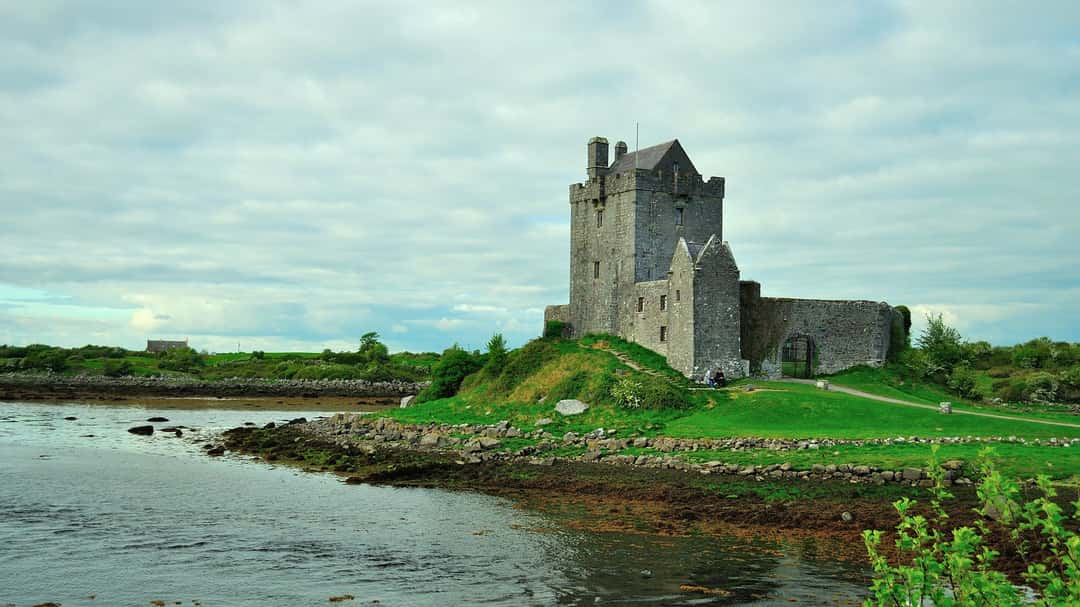 CastleCastle, unclassified · 1.8 mi
Explorer Tom Menlough Oughter castle was destroyed by lightning, which is dramatic for a building that just wanted to nap. Omanyn…
 Mountbellew Golf ClubGolf course · 2.1 mi
 Mountbellew - Moylough GAA pitchGAA ground · 2.8 mi
More historic places in County Galway · All of County Galway

What do you know about this place?Tap to add a comment or ask a question