What is recorded here
Galway farmland still marks the lost church through a rectangular graveyard and a thin east-west stone outline. The building vanished between map editions, yet the crossroads, buried wall line and nearby holy well preserve the shape of a place people kept returning to. What is missing is the roof, not the reason the ground remains set apart.
At a crossroads in gently undulating farmland; it is situated in a rectangular graveyard which is skirted by the td. boundary. Marked on 1st ed. of OS 6-inch map as a roofed building labelled 'Church', but evidently demolished by the time of 3rd ed. (1932) when the words 'Site of' are appended. What survives is the outline of a rectangular building (E-W; L 16.4m, Wth 6.7m) defined by modern-looking drystone walls (H 1.5m max.). Only E half of S wall is visible and there is a gap in N wall. No architectural features survive. A holy well (GA059-023----) lay 30m to SE.
The above description is derived from the published 'Archaeological Inventory of County Galway Vol. II - North Galway'. Compiled by Olive Alcock, Kathy de hÓra and Paul Gosling (Dublin: Stationery Office, 1999).
Date of upload: 05 August 2010
The monument record does not grant public access. Check the route and ask the landowner before entering private land.
- What survives
- Recorded monument
Places near here
 IndicatedHoly well · 67 yd
 Enclosure in FairhillEnclosure · 687 yd
 CarrownacreggCountry house · 1.2 mi
 R. C. Chapel and School Ho.Chapel · 1.5 mi
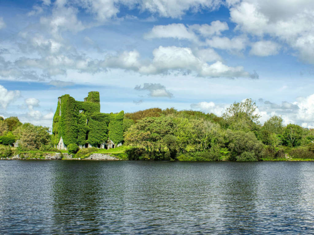 Castle BellewArchaeological place · 1.5 mi
 Menlough IRAMemorial · 1.6 mi
 SycamoreSycamore · 1.6 mi
 Mountbellew ForestForest · 2.6 mi
 CastleCastle, unclassified · 2.8 mi
 Ballinlass Eviction MemorialMemorial · 5.4 mi
 Knockmoy AbbeyHeritage attraction · 7.4 mi
 Kilconnell AbbeyHeritage attraction · 10 mi