What is recorded here
Sub-rectangular shaped graveyard (map dims. L c. 100m; max. Wth c. 66m) with medieval church remains (LH024-030001-) in SE corner. The earliest noted memorial slab has a date of 1613 (LH024-030003-) and was noted lying on the ground immediately to the S of the church remains (ASI field report 1984?). Contains a large number of 18th, 19th and 20th century grave slabs.
Compiled by: Claire Breen
Date of upload: 28 August 2012
A local ancient tomb; wider significance not recorded.
The monument record does not grant public access. Check the route and ask the landowner before entering private land.
- What survives
- Recorded monument
Places near here
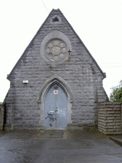 Cord Burial Groundchurch/chapel · 27 yd
 Cord Burial ground, chapel (in ruins)Church · 54 yd
 plaqueplaque · 109 yd
 Old Drogheda GaolArchaeological place · 529 yd
 Magdalene TowerCastle · 763 yd
 The ThoselMemorial · 815 yd
 Siege of Droghedasiege · 863 yd
 St. Peter's ChurchMemorial · 912 yd
 Millmount MuseumMuseum · 1008 yd
 Site of Old CastleCastle, unclassified · 2.0 mi
 Beaulieu House and GardensHeritage attraction · 2.0 mi
 Yellow IslandIslet · 2.5 mi