What is recorded here
On the current edition of the OS 6-inch map this monument is indicated with hachures that depicts a small circular-shaped mound which is not depicted on the first edition OS 6-inch map. The monument is located in a porrly drained area with a stream 20m to the W and Lough Ania 170m to the SE. The site of this potential monument has not been visited.
Compiled by Caimin O'Brien
Date of upload/revision : 17 November 2011
A Neolithic burial mound; its significance lies in its depiction on the Ordnance Survey maps, indicating its recognition as a prehistoric feature, though specific archaeological details remain limited.
The monument record does not grant public access. Check the route and ask the landowner before entering private land.
- What survives
- Recorded monument
Places near here
 Greenhill CashelFairy fort / stone ringfort · 261 yd
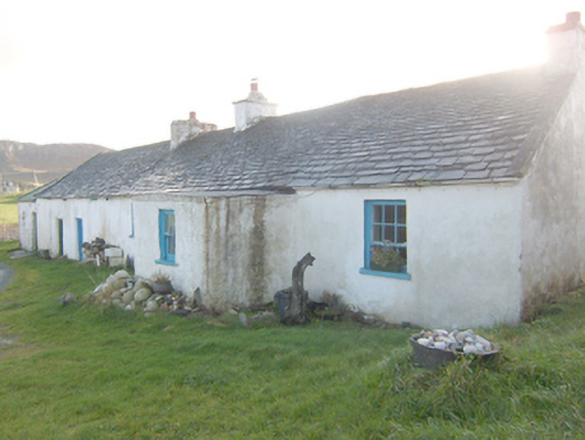 The Rockhouse · 453 yd
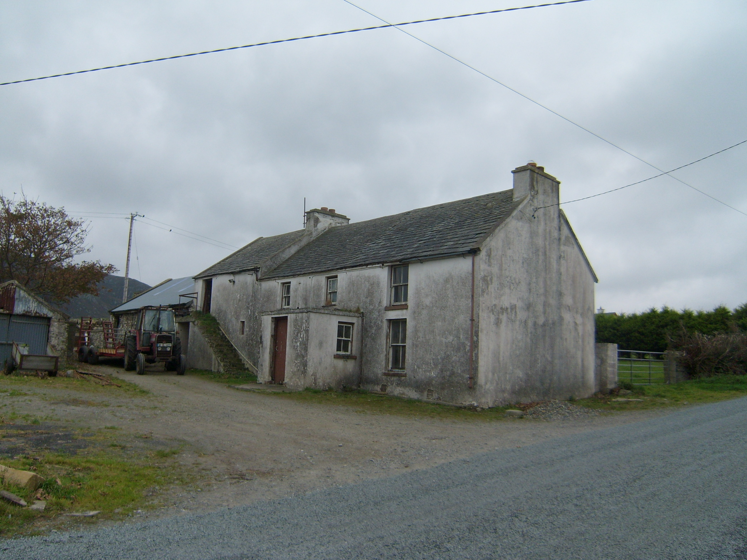 farm housefarm house · 550 yd
 Murroe Hilltop EnclosureEnclosure · 788 yd
 Boys IslandIslet · 1271 yd
 Local Wildlife presentationVisitor information · 1540 yd
 Tramore StrandBeach / strand · 1.5 mi
 Kill Old Church GraveyardGraveyard · 1.7 mi
 Castle (Site of)Castle, unclassified · 1.9 mi
 Mc Swyne's GunHeritage attraction · 2.1 mi
 Cliffs near Pollaguill BayPublicly named cliff or headland · 2.1 mi
 Lockheed Hudson bomber 1942Memorial · 2.4 mi