
What is recorded here
Located on the north shore of Malahide estuary. This two-storey building, rectangular in plan, incorporates a sequence of building phases some of which may date from the 17th century. A dwelling is marked on the Down Survey (1655-6) map at this location. The Civil survey (1654-6) mentions a 'slated house' at Corballis (Simington 1945, 50). There is an irregular pattern of windows in the building. According to the owner an ornamented window was discovered in the W end of the N wall during re-furbishments to the house but is plastered over. Stone mullions were also unearthed in the grounds (Moylan 1961, 23-24). In one of the out-offices running S of the house there is the remains of a stairwell.
Compiled by: Geraldine Stout
updated by: Christine Baker
Date of upload: 16 January 2015
The monument record does not grant public access. Check the route and ask the landowner before entering private land.
- What survives
- Recorded monument
Places near here
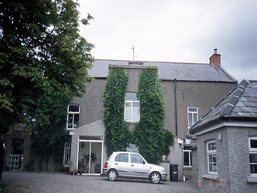 Corballis Housefarm house · 13 yd
 Enclosure in Corballis (nethercross By.)Enclosure · 353 yd
 Earthwork in Corballis (nethercross By.)Earthwork · 604 yd
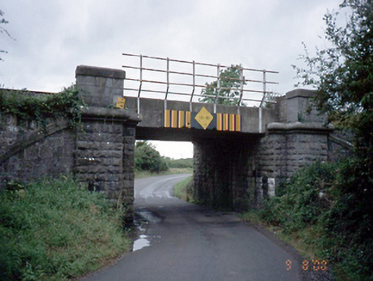 bridgebridge · 909 yd
 Donabate BeachBeach / strand · 1380 yd
 TowerCastle, tower house · 1713 yd
 The Red HouseMemorial · 1739 yd
 Old Post OfficeMemorial · 1.0 mi
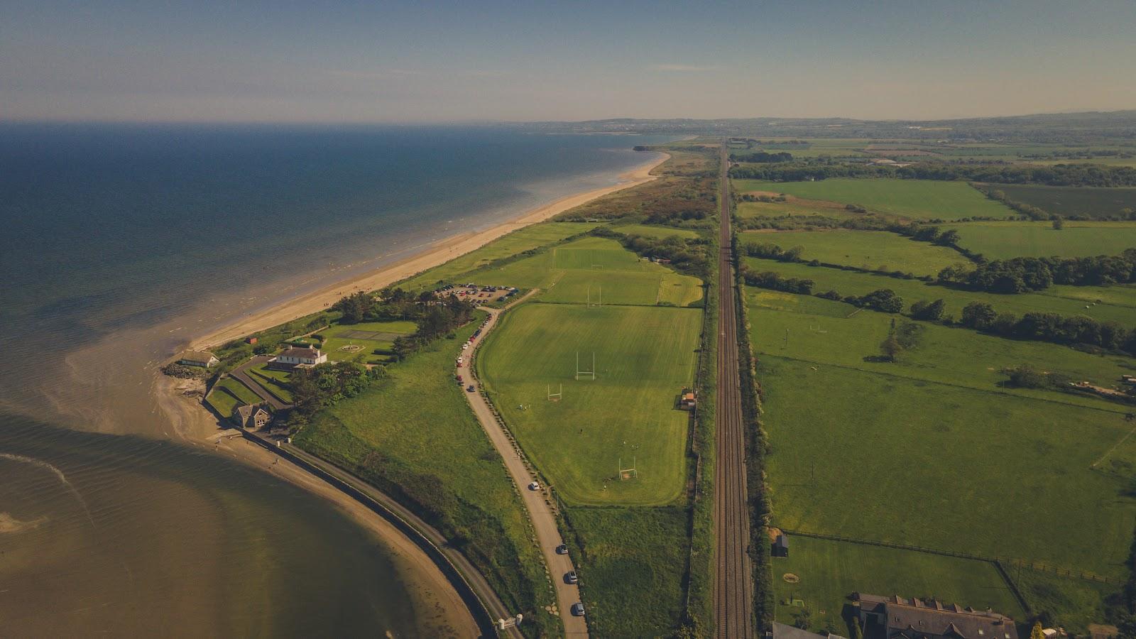 Corballis Nudist BeachBeach / strand · 1.1 mi
 Reilly's HillWood · 1.3 mi
 Newbridge House and DemesneHeritage attraction · 1.4 mi
 Tourist InformationVisitor information · 1.5 mi
Other information
Photo: Credit not shown in the picture search · Rights wording not checked; contact us if this picture should be removed