
What is recorded here
Located within a south facing arable field, that slopes down to Malahide Estuary, cropmarks indicate the presence of subsurface remains of a circular enclosure. The enclosure (diam. c.36m) visible on Google maps imagery (June 2028) is defined by a ditch (wth. c.1.5m).
See attached Google Earth orthoimage taken 24/06/2018
Compiled by: Christine Baker
Date of upload: 8 November 2021
The monument record does not grant public access. Check the route and ask the landowner before entering private land.
- What survives
- Recorded monument
Places near here
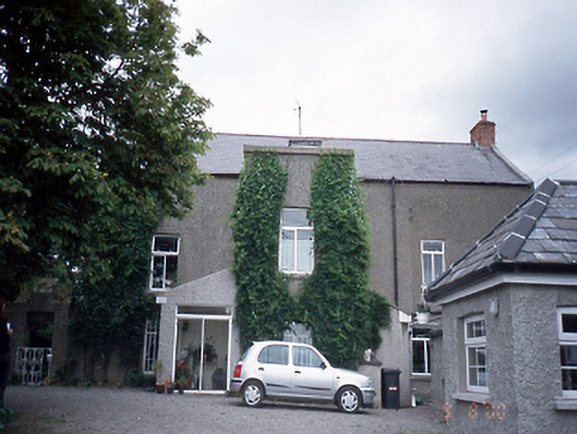 Corballis Housefarm house · 360 yd
 Earthwork in Corballis (nethercross By.)Earthwork · 951 yd
 Burnt mound in Corballis (nethercross By.)Burnt mound · 1015 yd
 Donabate BeachBeach / strand · 1034 yd
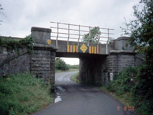 bridgebridge · 1168 yd
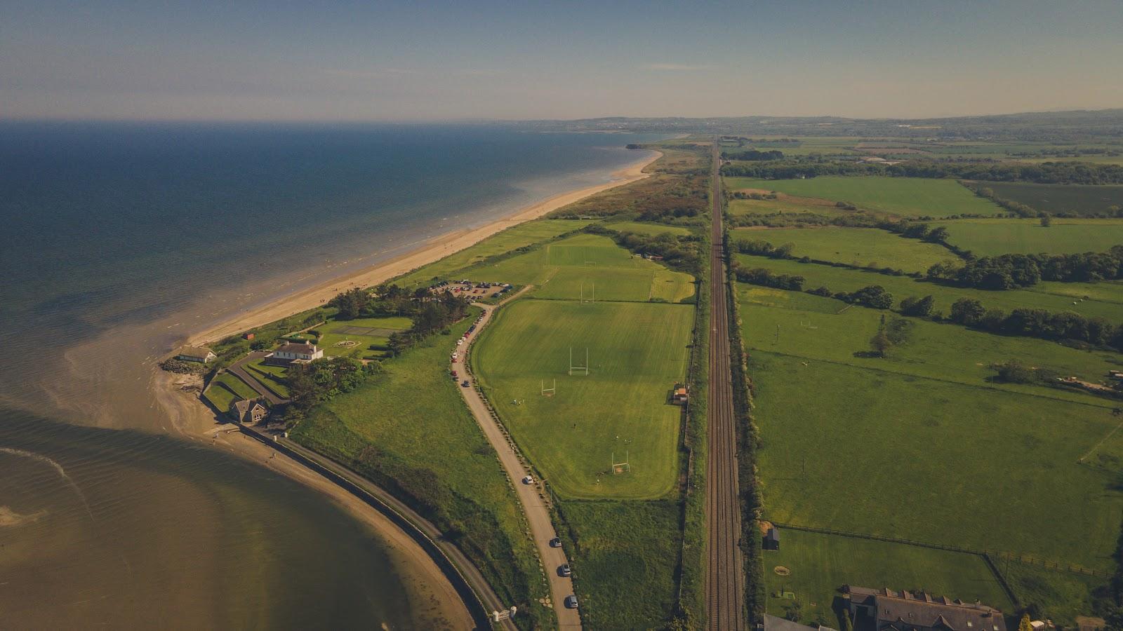 Corballis Nudist BeachBeach / strand · 1569 yd
 The Red HouseMemorial · 1.2 mi
 TowerCastle, tower house · 1.2 mi
 Old Post OfficeMemorial · 1.2 mi
 Reilly's HillWood · 1.3 mi
 Welcome To MalahideVisitor information · 1.5 mi
 Newbridge House and DemesneHeritage attraction · 1.6 mi
Other information
Photo: Credit not shown in the picture search · Rights wording not checked; contact us if this picture should be removed