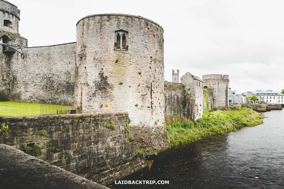
What is recorded here
Cooreagh Fort is a roughly circular earthen enclosure in marshy Limerick pasture, its scarped edge still standing one metre high despite cattle trampling the interior and fields binding its corners. The fairies may have built it, but humans certainly lived there, dumped debris against the north wall and let trees reclaim the south. What remains is a boundary marker more than a house, a place where marsh, pasture and memory still tangle together.
In undulating marshy pasture. Roughly circular area (24m N-S; c. 22m E-W) defined by scarped edge NW->SW but scarp overlain by field boundary SW->NW; another field boundary abuts scarp at NE so that enclosure occupies NW corner of field. From NW->NE scarped edge is highest (H 1m; Wth 2m) with slight trace of external fosse (D c. 0.2m; Wth c. 4m); at NNE debris has been dumped against scarp, this now covered by overgrowth. Scarped edge more gradual E->SW (H 0.6m; Wth 2m) and denuded in places by cattle accessing interior; widest break at E (Wth 1.2m). From SSE->SSW slight internal lip to scarp (int. H 0.35m; Wth 4m); external fosse evident SE->SW (D 0.4m; Wth 2m). Level interior overgrown by trees and bushes, especially SW quadrant; surface poached by cattle.
Compiled by: Denis Power
Date of upload: 26 August 2011
The monument record does not grant public access. Check the route and ask the landowner before entering private land.
- What survives
- Recorded monument
Places near here
 Our Lady's WellSpring · 1193 yd
 Castle (in ruins)Castle, hall-house · 1233 yd
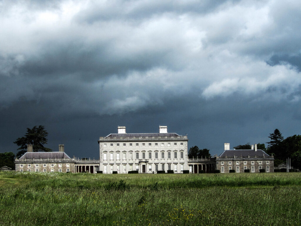 Enclosure in Castletown (connello Upper By.)Enclosure · 1283 yd
 Saint Derivla's WellSpring · 1312 yd
 IndicatedCastle, motte · 1315 yd
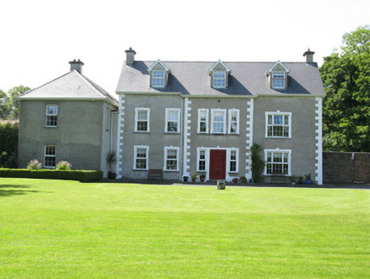 Castletown Conyerscountry house · 1355 yd
 Church (in ruins)Church · 1539 yd
 Gobnet's FortArchaeological place · 1729 yd
 KnockfeerinaMountain / peak · 4.5 mi
 Famine stoneMemorial · 4.6 mi
 National Co-op MuseumMuseum · 6.3 mi
 European ashEuropean ash · 8.2 mi
Other information
Photo: Credit not shown in the picture search · Rights wording not checked; contact us if this picture should be removed