What is recorded here
Places near here
Photo credits
- Fintan McTiernan; published by Monaghan GAA, www.flickr.com
- National Inventory of Architectural Heritage
- Allie_Caulfield from Germany, Wikimedia Commons · CC BY 2.0
- Sitomon, Wikimedia Commons · CC BY-SA 2.0
- Malene Thyssen, Wikimedia Commons · CC BY-SA 3.0
- Maker not stated on source page, www.alamy.com
- Maker not stated on source page, www.pinterest.com
- Maker not stated on source page, monumentalireland.ie
- Golfing in Ireland; photographer not stated, Source publisher
- Maker not stated on source page, en.wikipedia.org
- Maker not stated on source page, commons.wikimedia.org
 Páirc Churraichín, Currin Sons of St PatrickGAA ground · 191 yd
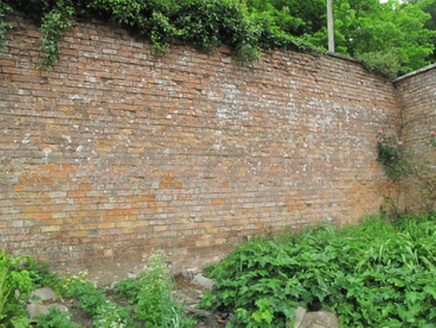 Hilton ParkWalled garden · 325 yd
Explorer Tom Hilton Park thinks the road leading to it is too flashy and not rustic enough. Those red bricks are all about keeping…
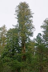 Coast Redwood526 yd
Explorer Tom Coast Redwood in County Monaghan is having a massive row with the village over who stole its shadow. It’s pretending to…
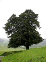 European Yew580 yd
Explorer Tom A European Yew in Monaghan suspects the postman is stealing its berries just to annoy it personally. It keeps watch…
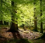 European Beech631 yd
Explorer Tom Another European Beech here remembers the day a goat tried to climb it and failed spectacularly. The whole valley saw…
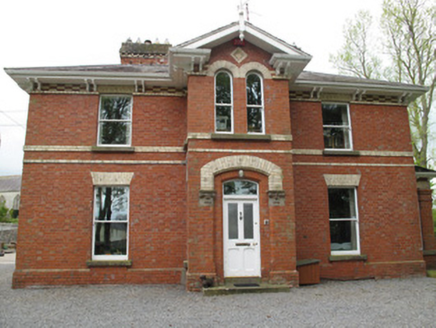 Currin RectoryRectory/glebe/vicarage/curate's house · 1072 yd
Explorer Tom Currin Rectory is wearing its polychrome brick like a bow tie, which is very 1890s for you and I respect that. Its New…
 Mapped graveyardGraveyard · 1153 yd
Explorer Tom this Mapped graveyard in County Monaghan is actually three hundred years older than it looks because time moves…
 Scotshouse CemeteryCemetery · 1167 yd
Explorer Tom Scotshouse Cemetery in County Monaghan has had so many names it’s lost track, like a celebrity who keeps changing their…
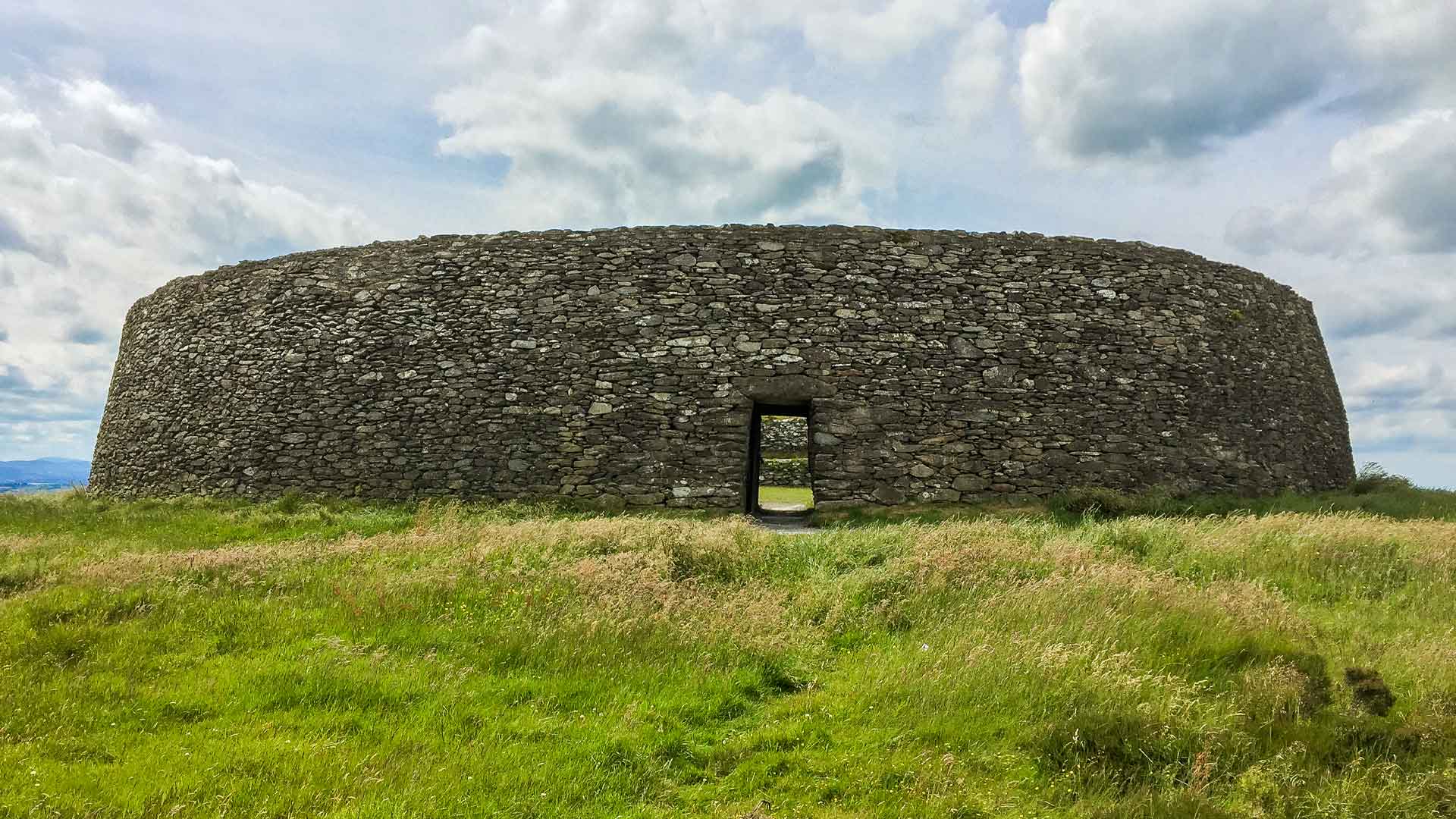 Fairy fort / earthen ringfort in AnniesFairy fort / earthen ringfort · 1502 yd
Explorer Tom Fairy fort / earthen ringfort in Annies would be a terrible history teacher. It has a bank on one side and a hedge on…
 Clones Golf ClubGolf course · 1.2 mi
 Linear earthwork in Corrackan,aghareagh West,corrinary (dartree By),corrinshigo (cremorne By),drumavan,drumgrone,aghnaskew (dartree By.),fastry or Racreeghan,killark (dartree By.),lattacrossan,skerrick West,annagheane,cornapasteLinear earthwork · 2.1 mi
Explorer Tom This linear earthwork has such a long name it needs a nap halfway through the sentence. Locals call it the Black Pig’s…
 Holy WellVisitor attraction · 2.2 mi
Explorer Tom Holy Well is the classic shortcut that isn't actually a shortcut at all, just a muddy dip in the ground with religious…
More woods, forests and old trees in County Monaghan · All of County Monaghan

What do you know about this place?Tap to add a comment or ask a question