
What is recorded here
Cooley Castle rose in County Louth when James Dowdall built it around 1543, but men forgot its shape before the nineteenth century ended. What is left is a absent mark, a castle that vanished so completely it stopped being visible. The land keeps the shape of its absence, waiting for someone to imagine the rooms that never showed themselves.
The following description is derived from both the published 'Archaeological Inventory of County Louth' (Dublin: Stationery Office, 1986) and the 'Archaeological Survey of County Louth' (Dublin: Stationery Office, 1991). In certain instances the entries have been revised and updated in the light of recent research.
Date of upload/revision: 17 July 2007
Site of castle built by James Dowdall c. 1543 and destroyed in the nineteenth century (Tempest 1952b, 77). No visible surface trace.
Cooley Castle, Castletowncooley was built in the early 17th century by the powerful O’Neill family, likely under the direction of Brian O’Neill, Lord of the Pale, as a strategic stronghold in the Cooley Peninsula. It is remembered for its historical association with the O’Neills and its role in the political and military landscape of medieval Ulster.
The monument record does not grant public access. Check the route and ask the landowner before entering private land.
- What survives
- Recorded monument
Places near here
 Castletown Househouse · 61 yd
 Enclosure in CastletowncooleyEnclosure · 306 yd
 Hut site in CastletowncooleyHut site · 532 yd
 Mount Bagnell FoerCastle, motte and bailey · 1051 yd
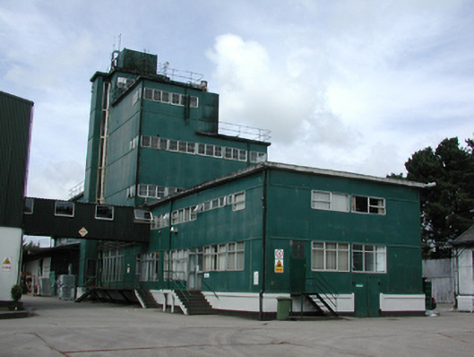 factoryfactory · 1057 yd
 IndicatedBawn · 1428 yd
 Grange UpperMountain / peak · 1497 yd
 The BushPicnic place · 1.2 mi
 BarnavaveMountain / peak · 1.7 mi
 Carlingford - Loop 1A- Commons LoopWalking route · 2.5 mi
 Carlingford Heritage CentreVisitor information · 2.7 mi
 Graveyard in Liberties OF CarlingfordGraveyard · 2.7 mi
Other information
Photo: Credit not shown in the picture search · Rights wording not checked; contact us if this picture should be removed