
What is recorded here
Twenty-three trenches cut across a forgotten field on the outskirts of Convoy, revealing a massive double ditch and central bank hidden beneath centuries of ploughing. The enclosure stretched nearly one hundred and fifty metres, swallowing the land in a deliberate circle that defied the ordinary bounds of a farm. Modern drainage pipes and removed boulders had masked its shape, but the earth still held the memory of a boundary drawn long before houses or roads claimed the space.
Excavation licence number 04E1302. Testing works were carried out as part of further information for planning permission to construct a large housing development on the outskirts of Convoy. A standing stone (DG069-014-) is recorded within the development site, although there is now no trace of the monument. Two other stones are located nearby. A total of 23 test-trenches were opened on the site. It was immediately apparent that the area had been systematically ploughed for some time, although only evidence for post-medieval cultivation was discovered, manifest in the uniform furrow width and alignment visible in a number of trenches. A concerted attempt had been made to improve this field during the 20th century, with the introduction of a drainage scheme which criss-crossed the field and the removal of the large boulders visible within the internal field boundary. As trenching progressed from west to east, a natural depression was encountered. This feature initially appeared to meander across the site on a predominantly north-west/south-east alignment. Where the trenches cut across the base of the depression a number of substantial double-ditch features were discovered cut into the base of the depression along its alignment. It was apparent that all these features were part of a very large double ditch, with a central bank of redeposited natural enclosing the hummock. Dimensionally the full width of the ditches averaged 5m, with the bank c. 1m, enclosing an area c. 145m (north-south) by 125m. No artefacts other than from the latter part of the post-medieval period were discovered in any of the trenches; in fact, apart from the enclosing ditch, very few features were discovered. Although there was a lack of settlement evidence upon the natural hummock, it is suggested that the enclosing banks are part of a very large archaeological monument which should be classified as an enclosure. (Excavations Bulletin 2004)
Mary Henry, Mary Henry Archaeological Services Ltd, 17 Staunton Row, Clonmel, Co. Tipperary.
The monument record does not grant public access. Check the route and ask the landowner before entering private land.
- What survives
- Recorded monument
Places near here
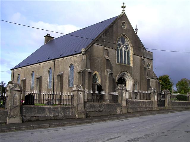 Convoy Presbyterian Churchchurch/chapel · 527 yd
 Presbyterian Memorial Hallchurch hall/parish hall · 561 yd
 Montgomery's FortFairy fort / ringfort · 1474 yd
 Former Carrickbrack Fairy FortFairy fort / ringfort · 1.3 mi
 Bawn in Killynure OR Wilsons FortBawn · 1.9 mi
 Mongorry HillMountain / peak · 2.5 mi
 PalaceHouse, fortified house · 2.7 mi
 Carnowen HillMountain / peak · 3.4 mi
 Lurgybrack Open FarmHeritage attraction · 4.9 mi
 Drumboe WoodForest recreation place · 6.2 mi
 BATTLE SITE: in 789 AD & BATTLE OF THE FORDS , Southern crossing, 1689 in Clady; DonnygowanBATTLE SITE: in 789 AD & BATTLE OF THE FORDS , Southern crossing, 1689 · 6.8 mi
 Battle of Scarrifholisbattle · 7.2 mi
Other information
Photo: Credit not shown in the picture search · Rights wording not checked; contact us if this picture should be removed