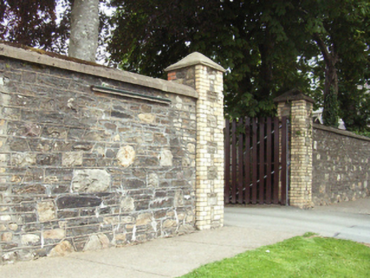
What is recorded here
Gateway, extant 1939, on a symmetrical plan comprising pair of yellow brick quoined piers having rendered pyramidal capping supporting timber boarded double gates. Road fronted at entrance to grounds of Convent of the Good Shepherd.
A gateway making a pleasing visual statement in Irish Town at the entrance on to the grounds of the Convent of the Good Shepherd complex: meanwhile, a weathered benchmark remains of additional interest for the connections with cartography and the preparation of maps by the Ordnance Survey (established 1824).
This does not grant access. Most recorded buildings are privately owned; view them only from public ground unless the owner allows entry.
Places near here
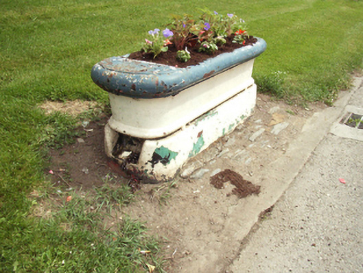 water troughwater trough · 13 yd
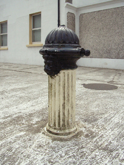 water pumpwater pump · 59 yd
 Site of St. Stephens ChapelChurch · 328 yd
 St. Stephens WellHoly well · 423 yd
 O'NeillMemorial · 1126 yd
 DunbrodyHeritage attraction · 1264 yd
 Ros Tapestry ExhibitionGallery · 1264 yd
 Crutched FriarsMemorial · 1284 yd
 IndicatedBawn · 1585 yd
 Forest Of The DunbrodyForest · 2.1 mi
 Lacken HillMountain / peak · 2.1 mi
 HawthornHawthorn · 2.6 mi
Other information
Photo: National Inventory of Architectural Heritage · Website use allowed for educational or private purposes with source credit