
What is recorded here
Described as the 'Convent of Dominicans (Site of)' only on the 1940 ed. of the OS 6-inch map, and situated on a steep E-facing slope. This is the site of parish church of Rosbercon. The church is depicted as a rectangular roofed structure (dims. c. 20m E-W; c. 10m N-S) on the 1839 ed. of the OS 6-inch map, and it is described as in good repair (Lewis 1837, vol. 2, 533-4). There are no visible remains of a church at ground level, apart from the N wall with two brick-lined window embrasures incorporated into the N wall of the wedge-shaped graveyard (dims. c. 55m E-W; c. 25-45m N-S) defined by masonry walls. There is a fragment of a medieval graveslab (Wth 0.5-55m; visible H 1.1m; T 0.2m) in a green stone with a fleur-de-lis terminals serving as a grave-marker in the graveyard. An oval bullaun stone (dims 0.5m x 0.35m; H 0.25m plus) of granite with a single basin (dims 0.27m x 0.25m; D 0.1m) is in a flowerbed c. 40m N of the graveyard.
The above description is derived from the published 'Archaeological Inventory of County Wexford' (Dublin: Stationery Office, 1996). In certain instances the entries have been revised and updated in the light of recent research.
Compiled by: Michael Moore
Date of revision: 29 May, 2019
This remains an important historical record, but the official description says the monument is no longer visible or has been destroyed. The monument record does not grant public access. Check the route and ask the landowner before entering private land.
- What survives
- No visible remains or recorded as destroyed
Places near here
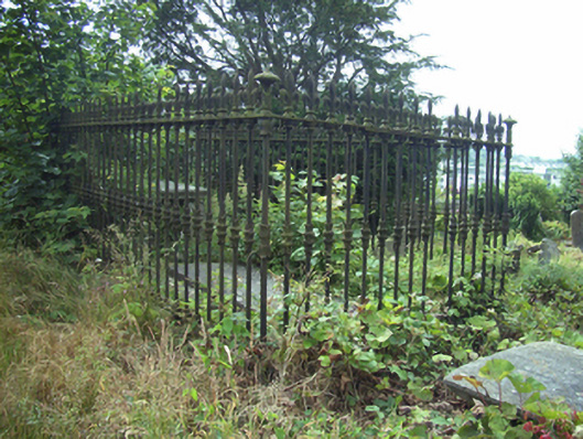 graveyard/cemeterygraveyard/cemetery · 17 yd
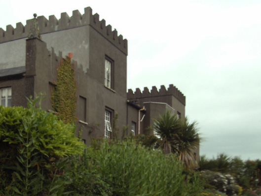 Rosbercon Castlecountry house · 64 yd
 Site of Dominican AbbeyReligious house, Dominican friars · 231 yd
 Battle of New Ross (1798)Major battlefield · 575 yd
 O'NeillMemorial · 595 yd
 DunbrodyHeritage attraction · 627 yd
 Dunbrody Famine Ship Visitor CentreHeritage attraction · 676 yd
 Crutched FriarsMemorial · 859 yd
 Rag WellHoly well · 1049 yd
 IndicatedBawn · 1.1 mi
 HawthornHawthorn · 1.9 mi
 Kylecorragh WoodForest · 2.5 mi
Other information
Photo: Credit not shown in the picture search · Rights wording not checked; contact us if this picture should be removed