What is recorded here
From the National Monuments Service (Archaeological Survey of Ireland) record CW016-007
Places near here
Photo credits
- Maker not stated on source page, www.discoverireland.ie
- Maker not stated on source page, en.wikipedia.org
- National Inventory of Architectural Heritage
- kevin higgins, commons.wikimedia.org
- Maker not stated on source page, www.interment.net
- Sarah777, Wikimedia Commons · Public domain
- A.-K. D., Wikimedia Commons · CC BY-SA 4.0
- Maker not stated on source page, commons.wikimedia.org
- Kmcnamee, Wikimedia Commons · CC BY-SA 4.0
- Alvesgaspar, Wikimedia Commons · CC BY-SA 3.0
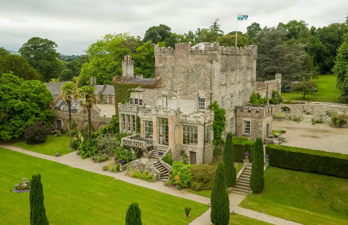 CastleCastle, unclassified · 404 yd
Explorer Tom The castle in Rathellin is unknown, but I bet it’s proud of how well it blends into the background. Stop the car, put…
 Church in RathellinChurch · 404 yd
Explorer Tom Rathellin Church was known as Shanrillick, which sounds like a sneeze. The exact spot is unknown, so it’s playing…
 Glen LodgeHouse · 1281 yd
Explorer Tom Glen Lodge in Leighlinbridge added a Tuscan portico because it wanted to look like an Italian villa on holiday. It’s…
 Leighlinbridge GAA pitchGAA ground · 1412 yd
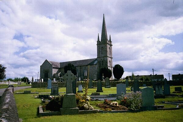 Flat cemetery in LeighlinbridgeFlat cemetery · 1452 yd
Explorer Tom Flat cemetery in Leighlinbridge thinks modern buildings are tacky and has strong opinions about urns. It’s been sitting…
 Garrison HouseHouse · 1488 yd
Explorer Tom Garrison House in Leighlinbridge is a three-storey show-off from 1760 that got a makeover around 1999. It thinks it’s…
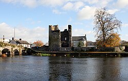 Black Castle (in ruins)Castle, tower house · 1531 yd
Explorer Tom Black Castle was built to defend the bridge in 1320, so it’s seen some proper traffic over the years. I bet it smells…
 Church, GraveyardChurch · 1605 yd
Explorer Tom Church, Graveyard in Ballyknockan used to be a thing, now it’s mostly a suggestion of a thing. A guy named Comerford…
 Boundary stone in Ballyknockan (idrone West By.)Boundary stone · 1710 yd
Explorer Tom Boundary stone in Ballyknockan is basically a brick with a square hole on top, but act like it means something…
 Earthwork in RathedanEarthwork · 1741 yd
Explorer Tom Earthwork in Rathedan is an oval raised area obscured by vegetation and debris, basically hiding from its fans. The…
 Superbowl, Michael DavittGAA ground · 1.1 mi
 Common Lime1.2 mi
Explorer Tom Another Common Lime tree, but this one is definitely trying to impress its neighbours with its leafy hair. A goat once…
More archaeology and monuments in County Carlow · All of County Carlow

What do you know about this place?Tap to add a comment or ask a question