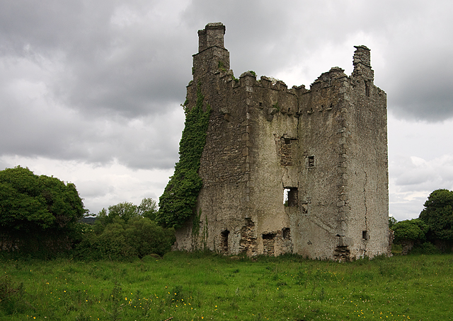
What is recorded here
A subcircular area (diam. c. 35.6m E-W) defined by an earthen bank (Wth c. 2.7m, int. H 0.4m, ext. H c. 1.2m) at E, S and W, and by an external fosse at S and W. Northern section destroyed. No evidence of original entrance.
Aerial photograph (GB90.CM.16) shows a clump of trees, the remnant of the earthwork recorded on the first edition OS 6” map, surrounded by a widely spaced concentric fosse delimiting a much larger curvilinear enclosure with evidence of sub-divisions and more characteristic of an ecclesiastical enclosure. The outer enclosure extends both sides of the field boundary and the north-eastern extremity of the enclosure is cut by the modern road. A new house appears to impinge on the northern portion of the enclosure. Could be at risk from further roadside development. First recorded as a positive cropmark in July 1990.
The above aerial report has been compiled by Dr. G.F. Barrett and supplied to the Archaeological Survey of Ireland.
Date of this report: 01 February 2010
The above description is derived from the published 'Archaeological Inventory of County Laois' (Dublin Stationery Office, 1995) compiled by P. David Sweetman, Olive Alcock and Bernie Moran. In certain instances the entries have been revised and updated in the light of recent research.
Date of upload/revision: 13 August 2010
A local fairy fort (ringfort/rath); wider significance not recorded.
The monument record does not grant public access. Check the route and ask the landowner before entering private land.
- What survives
- Recorded monument
Places near here
 Enclosure in SouthfieldEnclosure · 913 yd
 Saint Brigid's Church (Ballyadams)church/chapel · 978 yd
 DM PenderMemorial · 982 yd
 OutlinedHoly well · 1008 yd
 Ballintubbert Houserectory/glebe/vicarage/curate's house · 1137 yd
 Tullamoy Castle (ruins)Castle · 1.1 mi
 Cobbler's Castle WalkWalking route · 1.6 mi
 Mass Rock WalkWalking route · 1.6 mi
 Brackney WoodForest · 1.7 mi
 Mass RockNamed rock · 1.7 mi
 Pedunculate OakPedunculate Oak · 1.7 mi
 IndicatedCastle, unclassified · 1.8 mi
Other information
Photo: Credit not shown in the picture search · Rights wording not checked; contact us if this picture should be removed