
What is recorded here
A large curvilinear enclosure (dims. c. 63m N-S; c. 72m E-W) with an outer, roughly concentric enclosure (dims. c. 91m N-S; c. 87m E-W) visible as a faint cropmark on Google Earth (imagery date 28 June 2018), identified and reported by Simon Dowling. The outer enclosure is roughly 8-10m outside the inner enclosure, however, in the NE quadrant this gap widens to c. 18m.
See attached Google Earth image taken 28 June 2018
Compiled by: Jean Farrelly
Date of upload: 9 April 2019
The monument record does not grant public access. Check the route and ask the landowner before entering private land.
- What survives
- Recorded monument
Places near here
 Abbey in ruinsReligious house, unclassified · 764 yd
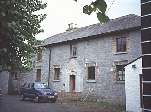 court housecourt house · 1009 yd
 Enclosure in BallylynanEnclosure · 1059 yd
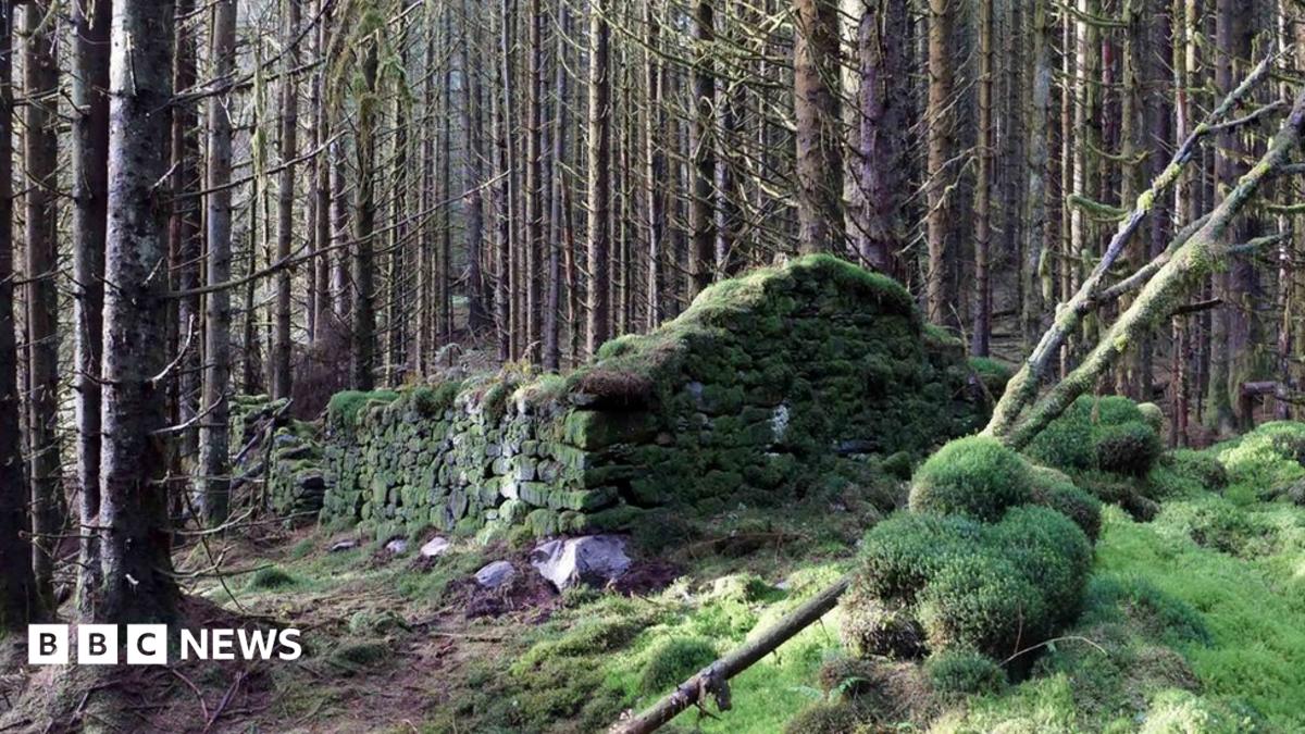 Enclosure in SkehanaghEnclosure · 1088 yd
 MoatCastle, motte and bailey · 1.5 mi
 Ballylehane CastleCastle, unclassified · 1.5 mi
 DM PenderMemorial · 4.0 mi
 Ernest ShackletonMemorial · 4.3 mi
 Town HallMuseum · 4.3 mi
 Brackney WoodForest · 4.8 mi
 Cobbler's Castle WalkWalking route · 5.7 mi
 Pedunculate OakPedunculate Oak · 5.7 mi
Other information
Photo: Credit not shown in the picture search · Rights wording not checked; contact us if this picture should be removed