What is recorded here
Internal diam. 24.4m. A subcircular area enclosed by a grassed-over, collapsed stone wall except for the N to E quadrant where it makes use of a cliff edge of the knoll on which it stands. The remains suggest a wall width of 1.6m. Just W of S a tangential wall base extends out from the enclosing wall in an E direction for 15.2m. It is situated on a knoll, with a steep E side, in an area of poor pasture land.
The above description was derived from the 'Archaeological Survey of County Donegal. A description of the field antiquities of the County from the Mesolithic Period to the 17th century.' Compiled by: Brian Lacey with Eamon Cody, Claire Cotter, Judy Cuppage, Noel Dunne, Vincent Hurley, Celie O'Rahilly, Paul Walsh and Seán Ó Nualláin (Lifford: Donegal County Council, 1983). In certain instances the entries have been revised and updated.
Date of upload: 22 September 2008
A local fairy fort (ringfort/rath); wider significance not recorded.
The monument record does not grant public access. Check the route and ask the landowner before entering private land.
- What survives
- Recorded monument
Places near here
 Common Stone RingfortFairy fort / stone ringfort · 293 yd
 Former Cashel EnclosureEnclosure · 561 yd
 Bracky Bridgebridge · 1171 yd
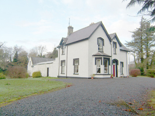 rectory/glebe/vicarage/curate's houserectory/glebe/vicarage/curate's house · 1.0 mi
 John DohertyMemorial · 1.4 mi
 Glengesh PassViewpoint · 2.8 mi
 IllancreeveIslet · 2.8 mi
 Assaranca Waterfallwaterfall · 3.6 mi
 Maghera WaterfallWaterfall · 3.6 mi
 Balbane HillMountain / peak · 3.9 mi
 Maghera StrandBeach / strand · 3.9 mi
 Maghera CavesSea caves · 4.5 mi