What is recorded here
Gowran Demesne held a college founded in 1312 to compensate Edmund Butler, Earl of Carrick, after the Dean and Chapter of St Canice’s took the church’s financial entitlement. Four priests lived together beside St Mary’s, celebrating Masses for his family and ancestors, turning a legal loss into a small rhythmic house of prayer. The college survived the Reformation with Protestant chaplains, appeared on White’s map as Colledge, and lost its visible building by the twentieth century, leaving only a strengthened cemetery wall and the memory of men who kept dead names alive through repeated worship.
In the SE angle of St Mary’s graveyard (KK020-060024-), c. 30m from the church (KK020-060006-).
In 1312 a college was established to compensate Edmund Butler, Earl of Carrick for the loss of any financial entitlement (advowson) from St Mary’s church, which were due to the patron, and which was now being given to the Dean and Chapter of St Canice’s, Kilkenny. The Dean and Chapter agreed to, ‘find, and support at our own expense, four priests to celebrate Masses in the said Church of the Blessed Mary for the said Edmund and Joan, his wife, and sons and daughters; and for all his ancestors and successors, living and dead’ (Carrigan 1905, vol. 3, 409). The college appears to have continued post-Reformation under Protestant chaplains and it is mentioned in the Regal Visitation Book of 1615 (ibid, 409-10).
The priests, or chaplains, lived collegiately, in community and their residence is indicated as, ‘Colledge’ on White’s 1710/11 map of Gowran. In the early 20th century the foundations of the college are described as being ‘still traceable’ (Carrigan 1905, vol. 3, 409). Drennan (1965, 58-9) noted that, ‘Traces of this college can still be seen and its back wall was probably strengthened to make the wall of the present Protestant cemetery’. There was no trace of the building when inspected in 1992.
See attached copy of White map 1710/11
Compiled by: Jean Farrelly
Date of upload: 24 March 2021
The monument record does not grant public access. Check the route and ask the landowner before entering private land.
- What survives
- Recorded monument
Places near here
 Saint Mary's Church (Gowran)church/chapel · 46 yd
 Church (in ruins)Church · 54 yd
 Font in GowranFont · 71 yd
 IndicatedTown defences · 101 yd
 Castle (Site of)Castle, unclassified · 300 yd
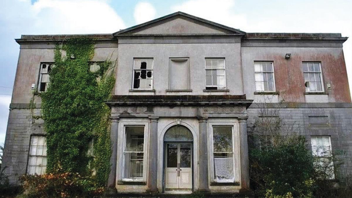 Bawn in Gowran DemesneBawn · 553 yd
 The Pey FieldForest · 3.2 mi
 The ClahounForest · 3.3 mi
 Tullaherin Church and Round TowerVisitor information · 4.4 mi
 St. Mogarra’s WellSpring · 4.7 mi
 Kilbline GraveyardArchaeological place · 5.3 mi
 Time CapsuleMemorial · 5.5 mi