
What is recorded here
From OpenStreetMap (© OpenStreetMap contributors) n3488638589
Places near here
Photo credits
- Kenneth Allen, Geograph · CC BY-SA 2.0
- Maker not stated on source page, www.dreamstime.com
- Maker not stated on source page, www.digitscotland.com
- Maker not stated on source page, fionaoutdoors.co.uk
- Maker not stated on source page, www.irelandhighlights.com
- Maker not stated on source page, en.wikipedia.org
- Maker not stated on source page, www.pinterest.com
- David Trochos at English Wikipedia, Wikimedia Commons · Public domain
- Colin Park, Geograph · CC BY-SA 2.0
- Albert Bridge, Geograph · CC BY-SA 2.0
- Maker not stated on source page, commons.wikimedia.org
 Ballyhanna ForestForest · 1043 yd
Explorer Tom The local sheep at Ballyhanna Forest think this place is overrated because they’ve been eating the same grass there for…
 Cairn (O.S. memoir site, unlocated) in BallyhannaCairn (O.S. memoir site, unlocated) · 1586 yd
Explorer Tom Cairn (O.S. memoir site, Unlocated) in Ballyhanna is playing hide-and-seek with me and winning hands down. I hear a…
 Cairn: the ree (O.S. memoir site, unlocated) in StradreaghCairn: the ree (O.S. memoir site, unlocated) · 1638 yd
Explorer Tom Cairn: the ree (O.S. memoir site, Unlocated) in Stradreagh is prehistoric and has a name that sounds like a sneeze. A…
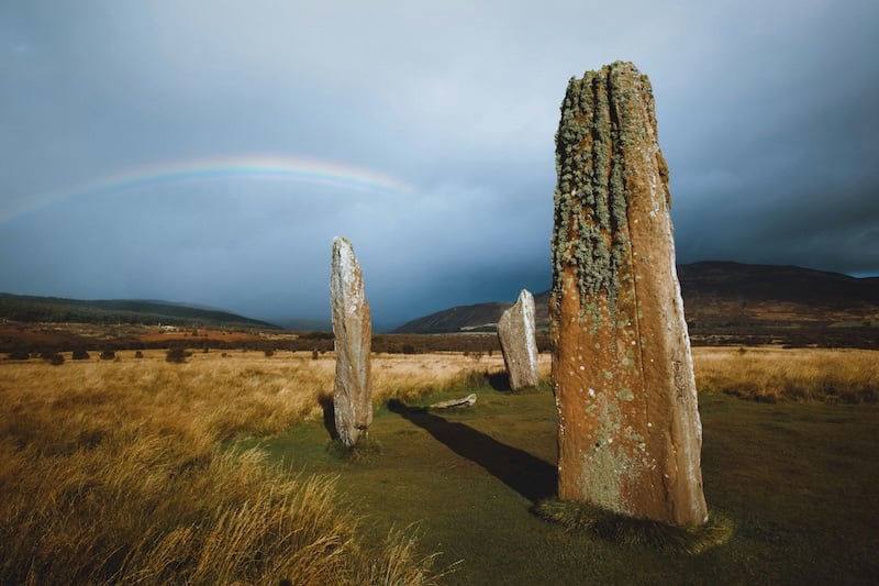 Standing stone: murchy's stone (O.S. memoir site, unlocated) in StradreaghStanding stone: murchy's stone (O.S. memoir site, unlocated) · 1638 yd
Explorer Tom Murchy's Stone in Stradreagh is technically unlocated, which means it’s hiding better than you hide your phone. It gave…
 Round cairn in Grange ParkRound Cairn · 1755 yd
Explorer Tom Round cairn in Grange Park is where the local bishop refused to go because he thought it was too circular and not…
 Round cairn in BallyhannaRound Cairn · 1.0 mi
Explorer Tom Round cairn in Ballyhanna is rolling its eyes at every other monument in County Derry. It’s scheduled and proud of it…
 Round cairn in LarganteaRound Cairn · 1.3 mi
Explorer Tom Round cairn in Largantea was built by a matchmaker who thought two stones looked compatible and forced them to sit next…
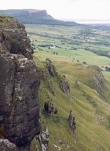 BinevenaghMountain / peak · 1.4 mi
Explorer Tom Binevenagh rises over the north coast like a cliff that decided to become a whole hill. The old lava country of the…
 Binevenagh ViewViewpoint · 1.8 mi
Explorer Tom Binevenagh View sits high on the basalt shoulder above Magilligan, where County Derry suddenly seems to run out of land…
 Large earthwork enclosure: Craigbolie Castle or Dun Crutheni in TamlaghtLarge earthwork enclosure: Craigbolie Castle or Dun Crutheni · 2.1 mi
Explorer Tom Craigbolie has a hidden message in its stones that just says 'move along, nothing to see.' It’s an early Christian…
 Ballyhacket ViewPicnic place · 2.4 mi
Explorer Tom Ballyhacket View in County Derry thinks the road leading up to it is a bit of a cheat, really. It’s tucked away like a…
 Castle in DuncrunCastle · 2.6 mi
Explorer Tom Castle in Duncrun has a family tree that is basically just 'Unknown' written over and over until it looked like a…
More mountains and hills in County Derry · All of County Derry

What do you know about this place?Tap to add a comment or ask a question