What is recorded here
Cnoc na dTarbh is recorded as a mountain / peak in County Kerry. Its open map record supplies this location and any linked names or public references.
Cnoc na dTarbh rises to approximately 550 metres and is part of the broader MacGillycuddy's Reeks range, one of Ireland's most geologically significant mountain systems. Its name, meaning "Hill of the Boars" in Irish, reflects local folklore or historical land use, though specific stories are not widely recorded. The peak contributes to the rugged landscape that defines the Kerry Gap and the Wild Atlantic Way region.
Places near here
 Cnoc an BhrácaMountain / peak · 633 yd
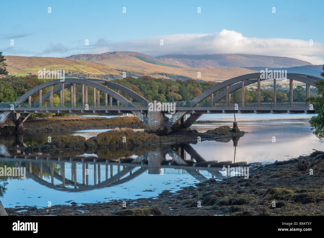 Very small BridgeHeritage attraction · 1171 yd
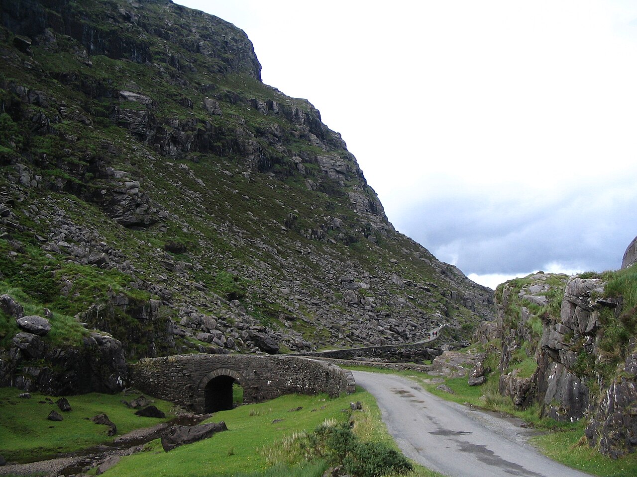 Gap of DunloeMountain pass · 1710 yd
 Head of DunloeViewpoint · 1716 yd
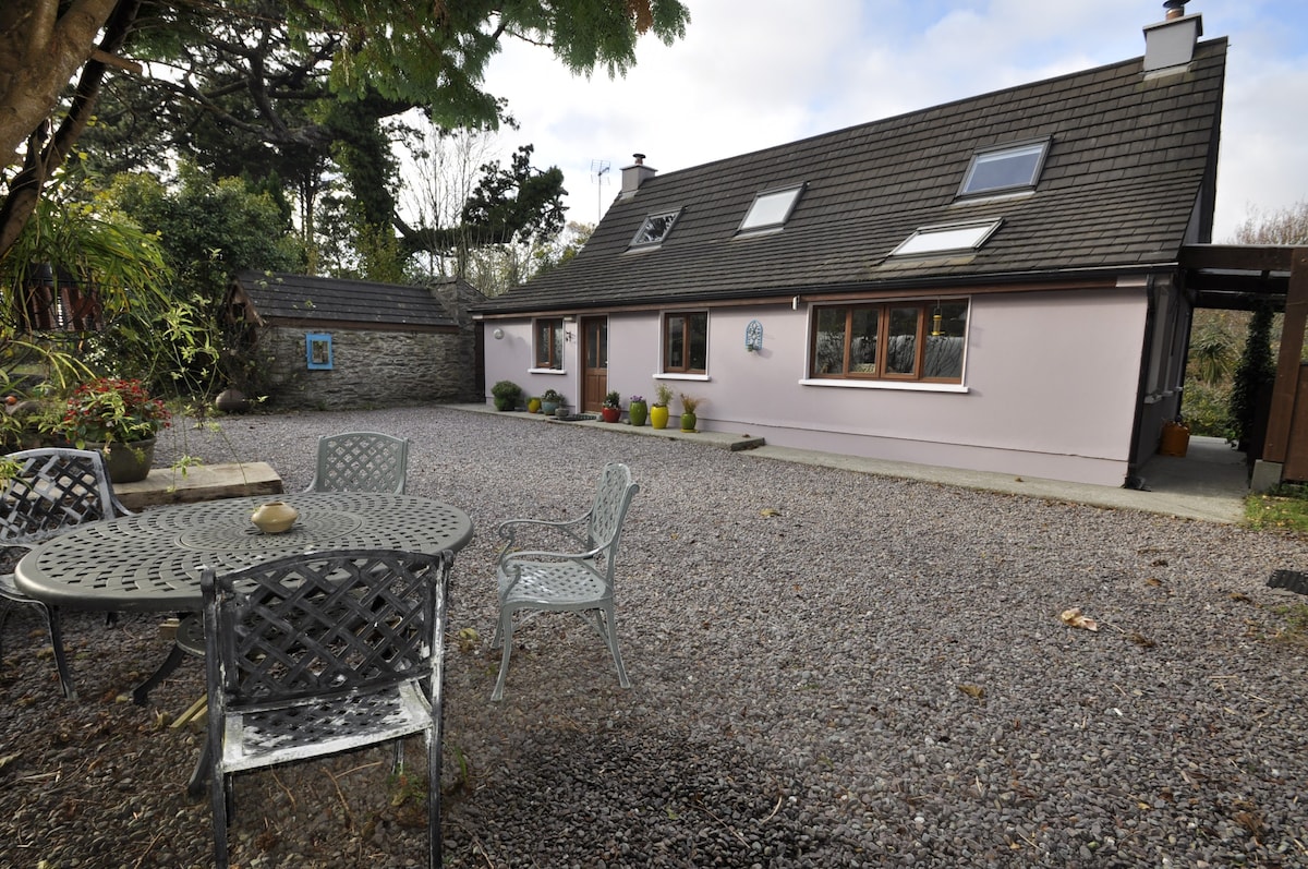 Hut site in AlohartHut site · 1.1 mi
 Hut site in Dunloe UpperHut site · 1.2 mi
 Cruach MhórMountain / peak · 1.3 mi
 Lord Brandon's CottageRuins · 2.3 mi
 Devil's Ladder RouteWalking route · 2.7 mi
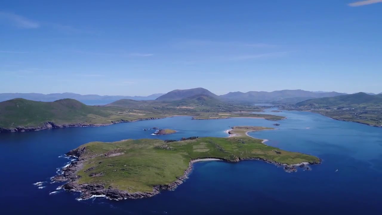 McCarthy's IslandIslet · 2.9 mi
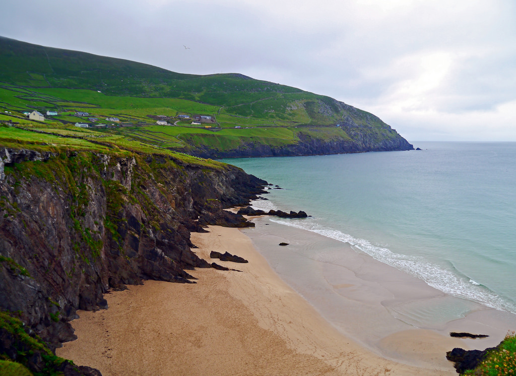 Ronayne's IslandIslet · 3.0 mi
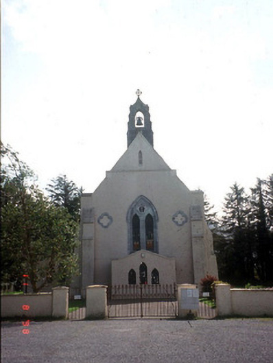 Saint Mary's Catholic Churchchurch/chapel · 3.8 mi