
What is recorded here
From OpenStreetMap (© OpenStreetMap contributors) n4308868741
Places near here
Photo credits
- Oliver Dixon, Geograph · Creative Commons Attribution-ShareAlike 2.0
- Andreas F. Borchert, Wikimedia Commons · CC BY-SA 4.0
- Maker not stated on source page, www.tripadvisor.com
- Maker not stated on source page, www.alamy.com
- Maker not stated on source page, www.dreamstime.com
- National Inventory of Architectural Heritage
- Maker not stated on source page, www.pinterest.com
- Maker not stated on source page, tr.pinterest.com
- Own work, Wikimedia Commons · CC BY-SA 3.0
 St. Deriblas WellHoly well · 1253 yd
Explorer Tom St. Deriblas Well in An Fál Mór, County Mayo caused such an argument that three neighbours stopped speaking to each…
 Fallmore ChurchChurch · 1275 yd
Explorer Tom Fallmore Church is sitting at the highest point of the Mullet Peninsula, overlooking the Atlantic with a view that…
 St. Deirbhile's Old Church GraveyardGraveyard · 1283 yd
Explorer Tom St. Deirbhile's Old Church Graveyard is waiting for a prophecy about gold coins that absolutely never came true, which…
 Faulmore CemeteryCemetery · 1378 yd
Explorer Tom Faulmore Cemetery in County Mayo is having a moment of pure existential dread right now. It’s probably posting…
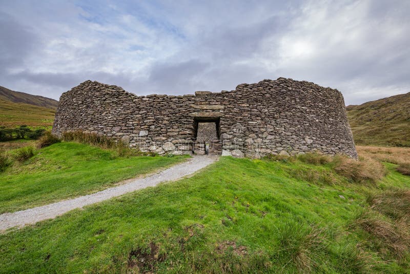 Fairy fort / stone ringfort in An TearmannFairy fort / stone ringfort · 1429 yd
Explorer Tom Fairy fort / stone ringfort in An Tearmann has a tunnel that allegedly goes straight to the local pub, but nobody dares…
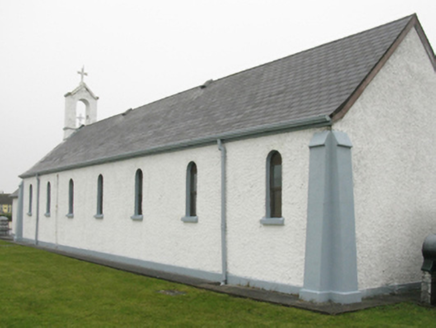 Catholic Church of Our Lady of LourdesChurch/chapel · 1591 yd
Explorer Tom Catholic Church of Our Lady of Lourdes thinks Dublin tourists are all about the photos and none about the prayer, so it…
 Castle (Site of)Castle, unclassified · 1757 yd
Explorer Tom Castle at An Tearmann was built on a bargain where someone traded a cow for the land and lost the argument about the…
 Blacksod Point Coastguard StationCoastguard station · 1.1 mi
Explorer Tom Blacksod Point Coastguard Station in Mayo is perched out there like it’s waiting for a shipwreck to show up and pay…
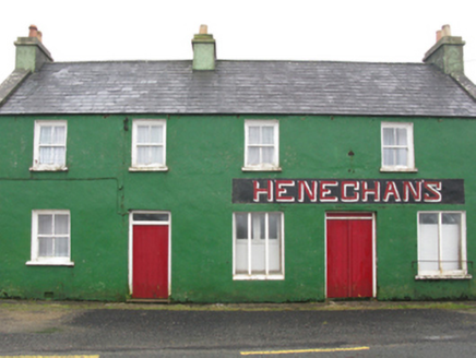 Heneghan'sHouse · 1.2 mi
Explorer Tom Heneghan’s House in Fallmore was built for a merchant who died in 1933 and has been sitting empty ever since, watching…
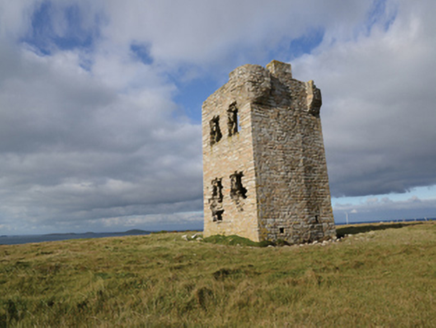 Glash Signal TowerSignal tower · 1.3 mi
Explorer Tom Glash Signal Tower in Nakil Or Surgeview is called Surgeview because the map makers were drunk or just really bad at…
 GeachtaIslet · 2.1 mi
Explorer Tom Geachta is the spot where a fiddler played all night until his fingers turned to stone. He was so good he forgot to…
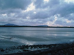 Cuan an Fhóid DuibhBay · 5.0 mi
Explorer Tom Blacksod Bay is wide enough to swallow one of my directions and still have room for the boat. It runs roughly sixteen…
More mountains and hills in County Mayo · All of County Mayo

What do you know about this place?Tap to add a comment or ask a question