What is recorded here
Situated on one of the summits of the ENE-WSW Forth Mountain ridge. A cairn known as ‘Clorane’ was described by John O'Donovan writing c. 1840 as being ‘one hundred paces in circumference and six feet in perpendicular height (diam. c. 30m; H c. 1.8m)’ (O'Flanagan, 1933, vol. 2, 76). Some stones are visible at the site although there is no cairn.
The above description is derived from the published 'Archaeological Inventory of County Wexford' (Dublin: Stationery Office, 1996). In certain instances the entries have been revised and updated in the light of recent research.
Compiled by: Michael Moore
Date of upload/revision: 27 May, 2013
A Neolithic cairn; likely dates to the early to middle Bronze Age. Its description suggests a ritual or funerary function, typical of the period in the region.
The monument record does not grant public access. Check the route and ask the landowner before entering private land.
- What survives
- Recorded monument
Places near here
 CloraneMountain / peak · 6 yd
 Raven RockMountain / peak · 328 yd
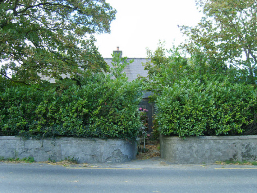 farm housefarm house · 1349 yd
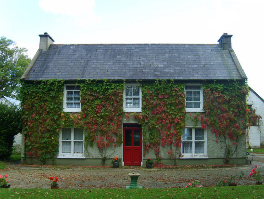 Casey's Cross Housefarm house · 1416 yd
 Battle Of The Three RocksMemorial · 1.4 mi
 Monumental structure in Shelmaliere Commons (shelburne By., Carrick Ed)Monumental structure · 1.7 miBattle of Three Rocksbattle · 1.7 mi
 Ladys WellHoly well · 1.7 mi
 Site of CastleCastle, unclassified · 1.8 mi
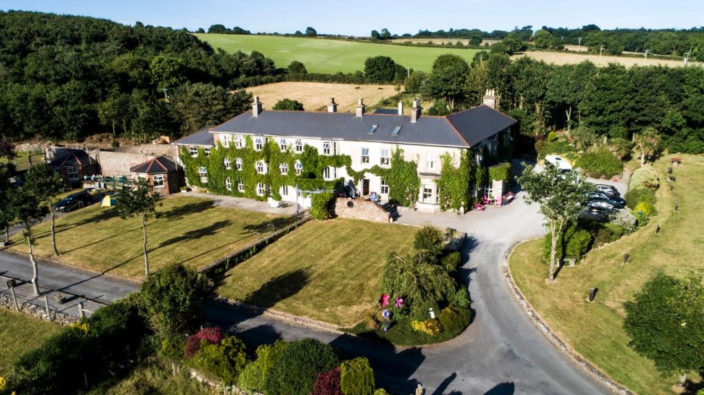 Bawn in Durra BigBawn · 2.1 mi
 Dawn RedwoodDawn Redwood · 2.9 mi
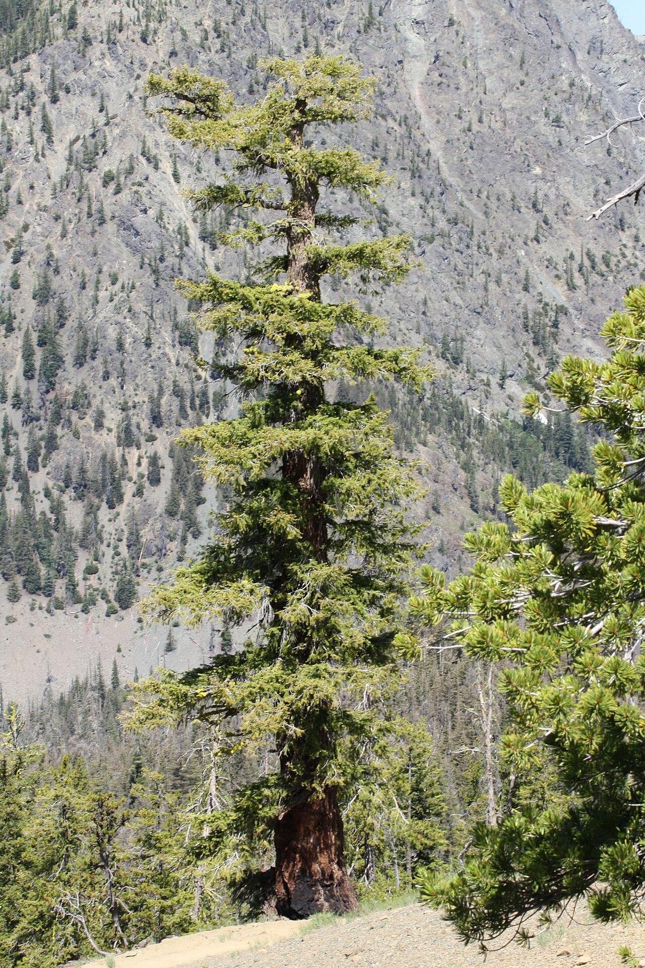 Douglas-firDouglas-fir · 3.0 mi