What is recorded here
A house and the avenue are marked on an estate map in NLI (ms. 371) dated 1777. This is an eighteenth century T-shaped house, now abandoned and roofless, with a nine bay two-storey E-facing front by one bay, which has a pediment rising over the E wall of the central bays. There are no windows on the other walls, and the return at W has been removed.
Compiled by: Michael Moore
Date of upload: 24 August 2010
This remains an important historical record, but the official description says the monument is no longer visible or has been destroyed. The monument record does not grant public access. Check the route and ask the landowner before entering private land.
- What survives
- No visible remains or recorded as destroyed
Places near here
 Enclosure in Inch IslandEnclosure · 1091 yd
 Inch IslandIsland · 1105 yd
 IndicatedField boundary · 1738 yd
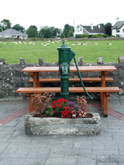 water pumpwater pump · 1.2 mi
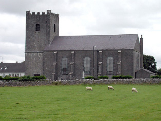 Saint Joseph's Catholic Churchchurch/chapel · 1.3 mi
 CastleCastle, unclassified · 2.5 mi
 Inchnaveague IslandIslet · 3.8 mi
 Killeglan CastleCastle, unclassified · 4.0 mi
 LismoneyForest · 4.4 mi
 Sheep HillMountain / peak · 4.7 mi
 Sweet ChestnutSweet Chestnut · 6.5 mi
 Mount MaryMountain / peak · 9.7 mi