What is recorded here
The following description is derived from the published 'Archaeological Inventory of County Carlow' (Dublin: Stationery Office, 1993). In certain instances the entries have been revised and updated in the light of recent research.
Date of upload/revision: 17 July 2007
Slightly tapering pillar stone of granite (H 2.5m; 0.4m x 0.7m). Stone appears to have stood immediately adjacent to now destroyed enclosure, possibly ringfort (CW012-071----).
A local standing stone or piece of rock art; wider significance not recorded.
This remains an important historical record, but the official description says the monument is no longer visible or has been destroyed. The monument record does not grant public access. Check the route and ask the landowner before entering private land.
- What survives
- No visible remains or recorded as destroyed
Places near here
 Clonegall StoneEnclosure · 11 yd
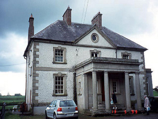 Glen Lodgehouse · 556 yd
 Turret (in ruins)Town defences · 603 yd
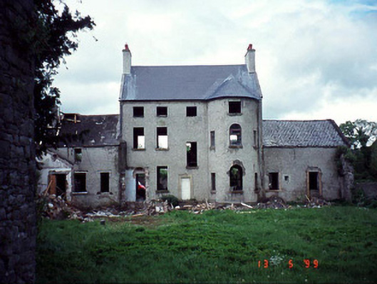 Garrison Househouse · 631 yd
 Black Castle (in ruins)Castle, tower house · 667 yd
 Church, GraveyardChurch · 1000 yd
 Common LimeCommon Lime · 1.3 mi
 Dunleckny Ho.Castle, unclassified · 2.1 mi
 Sweet ChestnutSweet Chestnut · 2.1 mi
 Graveyard in Tomard Lower (3 Detached Portions)Graveyard · 2.2 mi
 Lock Keeper's House and Lodge MillsVisitor information · 2.3 mi
 The Columban WayVisitor information · 2.4 mi