What is recorded here
Situated on top of a broad hill or N-S ridge. This is a stone with quartz inclusions and a diamond-shaped cross-section (dims. 1m x 0.9m; H 1.9m), oriented ENE-WSW and probably damaged on the E side.
The above description is derived from the published 'Archaeological Inventory of County Waterford' (Dublin: Stationery Office, 1999). In certain instances the entries have been revised and updated in the light of recent research.
Date of upload/revision: 6th October, 2011
Compiled by: Michael Moore
Likely dating to the Early Christian period, the stone's orientation and shape suggest it may have functioned as a ritual or memorial marker. No specific folklore or inscriptions are recorded, though its placement on a prominent ridge implies a symbolic or territorial significance.
The monument record does not grant public access. Check the route and ask the landowner before entering private land.
- What survives
- Recorded monument
Places near here
 IndicatedFairy fort / earthen ringfort · 1.6 mi
 Settlement cluster in Gort Na Duimhche Íochtarach,gort Na Duimhche UachtarachSettlement cluster · 1.7 mi
 Church in LoiscreánChurch · 1.8 mi
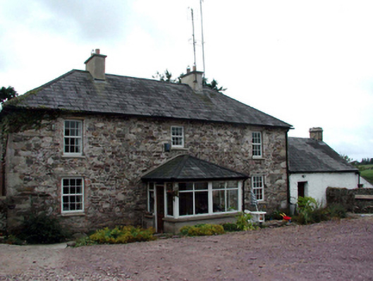 farm housefarm house · 1.8 mi
 Site of CastleCastle, unclassified · 2.5 mi
 Castle (in ruins)Castle, unclassified · 3.3 mi
 Erin's Hope 1867Memorial · 3.7 mi
 Cunnigar PointHeadland · 3.8 mi
 Waterford County MuseumMuseum · 4.0 mi
 Ceann HeilbhicHeadland · 4.1 mi
 Dungarvan World War I MemorialMemorial · 4.1 mi
 Dungarvan CastleCastle · 4.1 mi