What is recorded here
In rough mountain terrain on the E slopes of Beenmore. A circular drystone foundation. D: 4.1m. H: .65m. T: 1.6m. A 2nd circular hut foundation (KE053-092----) lies about 40m to W in Kinard East townland. D: 4.5m. H: .6m. T: 1m.
The above description is derived from J. Cuppage (compiler) 'Corca Dhuibhne. Dingle Peninsula archaeological survey.' Ballyferriter. Oidhreacht Chorca Dhuibhne (1986), no. 1243. In certain instances the entries have been revised and updated in the light of recent research.
Date of upload: 31 May 2013
The monument record does not grant public access. Check the route and ask the landowner before entering private land.
- What survives
- Recorded monument
Places near here
 Hut site in Cinn Aird Thoir (tc Cinn Aird)Hut site · 43 yd
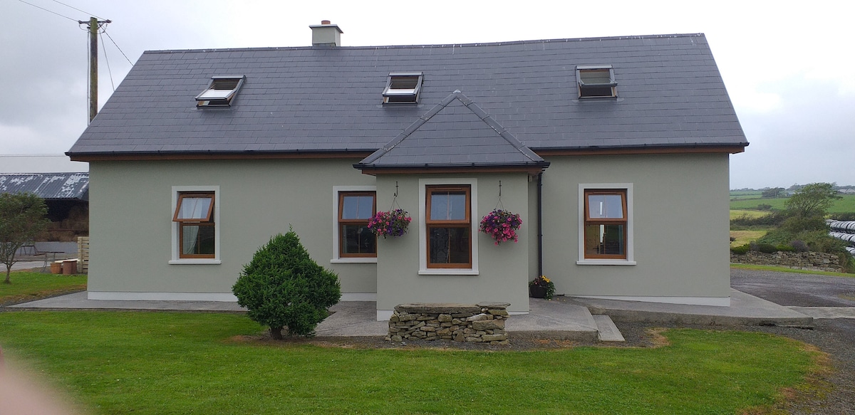 Hut site in An Coimín (tc An Mhín Aird)Hut site · 412 yd
 CarrigavinnaunNamed rock · 489 yd
 Country house in Arda Mór (tc Cinn Aird)Country house · 1.6 mi
 40Cliff · 2.0 mi
 Church in Páirc An TeampaillChurch · 2.0 mi
 Lispole Ambush MonumentWayside cross · 2.1 mi
 Ballintaggart Ogham StonesVisitor information · 2.3 mi
 Cnoc an GhleannaMountain / peak · 2.9 mi
 Hussy's FollyHeritage attraction · 3.0 mi
 Tobar EoinSpring · 3.4 mi
 An ChorrMountain / peak · 3.4 mi