
What is recorded here
Calluragh burial ground (KE044-078005-) and St. Martins Church/Teampall Mártain or An Teampall Liath: This site lies on the floor of the valley that separates the central mountain range from the Sea Hill ridge, and its situation on slightly elevated ground affords it an extensive outlook. Preserved within the large oval earthen-banked enclosure are the foundations of 3 or 4 rectangular house sites and a possible Man-made underground passage. The ruins of Templemartin church stand in the E sector. Children were interred here until the early part of this century (An Seabhac 1939, 160) but no graves or gravemarkers are now visible.
Templemartin Church (KE044-078004-): The ruins of the rectangular church, 10.3 x 4m internally, testify to two building periods. The original church, a pre-13th century foundation, was subsequently extended eastwards, probably in the 15th/16th century. The E limit of the earlier church cannot now be ascertained due to the poor preservation of the stonework, but 2 roughly opposed breaks in the N and S walls, c. 6m from the W gable, may indicate collapse due to poor bonding of the extension.
The walls are built of boulder rubble and split stone with a core of small stones laid in a lime mortar; the later work, visible on the exterior of the E gable and its return along the S wall, is generally poorer, being widely jointed with greater use of pinnings.
The W sections of the N and S walls stand to a height of c. 2.3m and are .83m thick. The break in the N wall, now largely obscured by fallen masonry, may mark the site of an entrance. The NW and SW quoins have fallen and the exterior face of the W gable has largely collapsed. The central section, c. 2.2m in height, preserves the original lintelled doorway, its head surmounted by a massive boulder. The inclining jambs and ingoings are formed of neatly squared blocks, and the doorway is framed externally by a sunken architrave with projecting half round moulding on the reveals. The through lintel has a broken pivot hole on the inner N edge and the door was further secured beneath this by a metal or wooden gudgeon housed in an angled groove in the wall.
The upper section of the S ingoing has collapsed and large stones wedged under the lintel here include the head of a single light ogee window, probably the later E window. The E wall, c. 1m high, preserves the broken sill of this ope, and 2 chamfered block jambs, now fallen, indicate a light c. 0.16m wide and 1.12m high.
The above description is derived from J. Cuppage, ‘Corca Dhuibhne. Dingle Peninsula archaeological survey. Ballyferriter. Oidhreacht Chorca Dhuibhne’ (1986), no. 830. In certain instances the entries have been revised and updated in the light of recent research.
Date of upload: 8 August 2013
The monument record does not grant public access. Check the route and ask the landowner before entering private land.
- What survives
- Recorded monument
Places near here
 Lispole Viaductbridge · 701 yd
 Country house in Arda Mór (tc Cinn Aird)Country house · 742 yd
 Lispole Ambush MonumentWayside cross · 808 yd
 Man-made underground passage in Arda Mór (tc Cinn Aird)Man-made underground passage · 893 yd
 Enclosure in An Gráig (tc An Mhín Aird),arda Mór (tc Cinn Aird)Enclosure · 1042 yd
 Cruach SceirdeMountain / peak · 1.7 mi
 CarrigavinnaunNamed rock · 1.8 mi
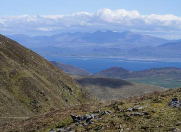 An Cnapán MórMountain / peak · 2.1 mi
 Tobar EoinSpring · 2.8 mi
 Caisleán na Mine AirdeCastle · 2.8 mi
 Minard Castle (in ruins)Castle, tower house · 2.8 mi
 Maughanablagher CliffsCliff · 2.9 mi
Other information
Photo: Credit not shown in the picture search · Rights wording not checked; contact us if this picture should be removed