
What is recorded here
From OpenStreetMap (© OpenStreetMap contributors) w697819959
Places near here
Photo credits
- Zapp111, Wikimedia Commons · CC BY-SA 4.0
- Maker not stated on source page, ru.pinterest.com
- Kilkenny GAA club page; individual photographer not named for this image, kilkennygaa.ie
- National Inventory of Architectural Heritage
- Maker not stated on source page, www.pinterest.com
- Maker not stated on source page, en.wikipedia.org
- Maker not stated on source page, fi.pinterest.com
- Maker not stated on source page, www.flickr.com
- Maker not stated on source page, commons.wikimedia.org
- Andy Ryan / 1803 Productions, credited by Kilkenny GAA, kilkennygaa.ie
 Saint Brendan's Catholic ChurchChurch/chapel · 32 yd
Explorer Tom Saint Brendan's Catholic Church in Clogharinka has very strong opinions about modern buildings, mostly because it…
 Clogharinka Castle (site of)Castle · 280 yd
Explorer Tom Clogharinka Castle saw its most dramatic moment when a local poet tripped over his own feet while reciting a eulogy for…
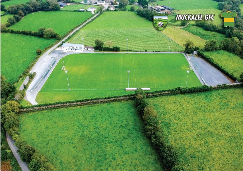 Muckalee GAA pitchGAA ground · 1562 yd
 Rockbrook Corn MillMill (water) · 1.1 mi
Explorer Tom The Rockbrook Corn Mill had a matchmaker working there who paired off the flour sacks with the water wheels. It’s…
 CastleCastle, unclassified · 1.2 mi
Explorer Tom Castle in Gaulstown is guarding a treasure that’s definitely a biscuit tin from 1655. It thinks it’s fancy, but it’s…
 Holy well in MuckaleeHoly well · 1.2 mi
Explorer Tom Holy well in Muckalee is gone, destroyed long ago by mystery men in beige coats. It would have wanted ‘Regrettable but…
 Uskerty BridgeBridge · 1.5 mi
Explorer Tom Uskerty Bridge in Coolraheen North is showing off its cut-limestone dressings like it’s fancy. I bet the first owner…
 Flat cemetery in Coolraheen NorthFlat cemetery · 1.5 mi
Explorer Tom Flat cemetery in Coolraheen North has a secret talent for hiding from ploughs. It’s been invisible since 1848 and is…
 Muckalee Church (in ruins)Church · 1.6 mi
Explorer Tom Muckalee Church sits on a ridge commanding three valleys, which sounds fancy but really just means the wind is…
 Fairy fort / ringfort in Damerstown EastFairy fort / ringfort · 1.7 mi
Explorer Tom Fairy fort / ringfort in Damerstown East describes itself as 'slightly disturbed rocky area' to avoid saying it was…
 Dysart Glebe GraveyardGraveyard · 2.1 mi
Explorer Tom Dysart Glebe Graveyard reviews its visitors with a silent nod that says 'adequate' or a shrug that means…
 Erins Own GAA pitchGAA ground · 2.4 mi
More memorials and graveyards in County Kilkenny · All of County Kilkenny

What do you know about this place?Tap to add a comment or ask a question