What is recorded here
On level karstic terrain. Marked on 1st ed. of OS 6-inch map as a rectangular structure. What survives today is a rectangular spread of loose stone (L 12.7m, Wth 9.8m). Along with GA110-160----, this is probably one of the 'two cloghauns, one mile to SW [of Cill Rónáin]' mentioned by Westropp (1895, 266).
The above description is derived from the published 'Archaeological Inventory of County Galway Vol. I - West Galway'. Compiled by Paul Gosling (Dublin: Stationery Office, 1993).
Date of upload: 05 August 2010
The monument record does not grant public access. Check the route and ask the landowner before entering private land.
- What survives
- Recorded monument
Places near here
 Holy Well (now dry)Holy well · 618 yd
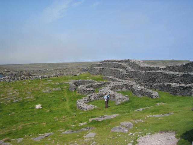 DoocaherPromontory fort, coastal · 625 yd
 Scoil Náisiúnta Cill Éinneschool · 1307 yd
 school master's houseschool master's house · 1344 yd
 Teampall BheanáinHeritage attraction · 1.0 mi
 Arkin's CastleCastle · 1.1 mi
 Leaba Naomh RónáinHeritage attraction · 1.3 mi
 An CharcairMountain / peak · 1.5 mi
 Trá na mBuailte (Beach of the Booly)Beach / strand · 1.7 mi
 ÁrainnIsland · 1.9 mi
 Seal Colony LookoutViewpoint · 2.2 mi
 Oileán na TuíIslet · 2.5 mi