What is recorded here
The foundations of this structure occur close to the enclosing bank of enclosure (KE078-002001-) at WSW. Only the W half is apparent, where the wall measures 1.3m thick. The interior, which is 3m in diameter, is filled with loose stone. Immediately to S are two upright stones, 1m and 0.45m high. It is not clear if these stones are connected with the hut or if they functioned as grave-markers.
See attached plan taken from Henry 1957, fig. 14, 91.
The above description is derived from O'Sullivan, A. and Sheehan, J. (compilers) 'The Iveragh peninsula: an archaeological survey of South Kerry'. Cork University press. (1996), no. 945. In certain instances the entries have been revised and updated in the light of recent research.
Revised by: Caimin O'Brien
Date of revised upload: 29 March 2022
The monument record does not grant public access. Check the route and ask the landowner before entering private land.
- What survives
- Recorded monument
Places near here
 Church in Feaghmaan WestChurch · 30 yd
 GeokaunMountain / peak · 806 yd
 The GrottoCave · 1039 yd
 Fogher CliffCliff · 1096 yd
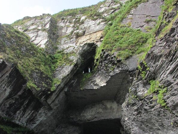 Slate QuarryQuarry · 1154 yd
 Shrine in Cool EastShrine · 1163 yd
 ValentiaIsland · 1377 yd
 ToberfinnanHoly well · 1647 yd
 Chilean myrtleChilean myrtle · 1.3 mi
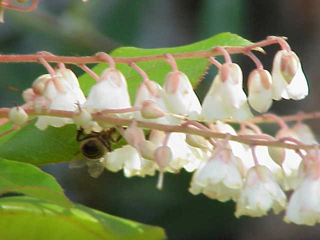 Lily-of-the-valley treeLily-of-the-valley tree · 1.3 mi
 Kilbeg MountainMountain / peak · 1.4 mi
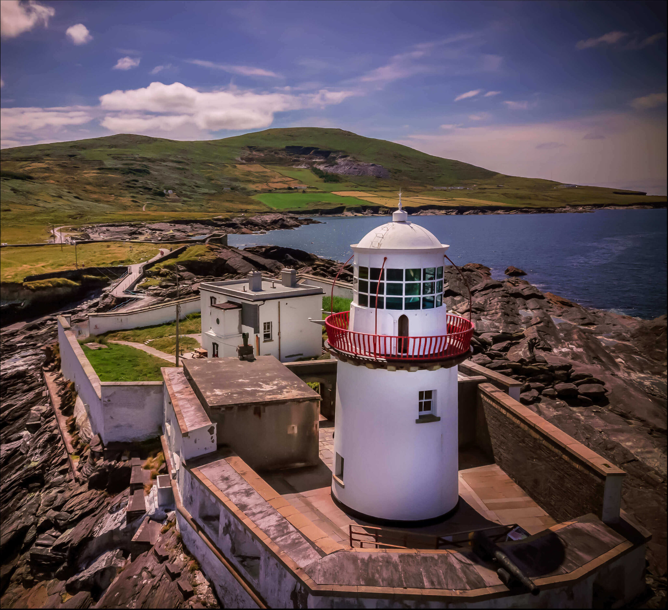 Valentia Island LighthouseMuseum · 1.6 mi