What is recorded here
At end of gravel spur overlooking W bank of Bandon River. Roughly oval area (30.7m E-W; 23m N-S) enclosed by deep fosse (D 3.7m) and counterscarp bank (H 0.6m) S->NE; by sheer cliff face NE->S. Interior split-level; W half 2.4m higher.
From the National Monuments Service (Archaeological Survey of Ireland) record CO111-008
The monument record does not grant public access. Check the route and ask the landowner before entering private land.
- What survives
- Recorded monument
Places near here
Photo credits
- National Inventory of Architectural Heritage
- Neville Goodman, Geograph · Creative Commons Attribution-ShareAlike 2.0
- Vadim Manuylov, Wikimedia Commons · CC BY-SA 3.0
- Jonathan Thacker, Geograph · CC BY-SA 2.0
- Garry Dickinson, Geograph · CC BY-SA 2.0
- Unknown author Unknown author, Wikimedia Commons · Public domain
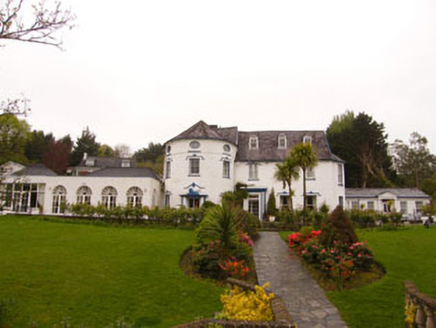 country house671 yd
 Kilpadder Burial Ground (Site of)Burial ground · 776 ydFulacht FianFulacht fia · 1126 yd
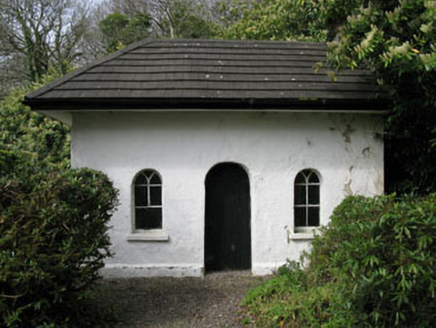 Shippool HouseGate lodge · 1187 ydDromkeen Wood Nature ReserveForest · 1.0 miInnishannon WoodsPicnic place · 1.1 mi
 Monterey Cypress1.4 miMarie LouiseWreck · 1.5 mi
 Downdaniel Castle (in Ruins)Castle, tower house · 1.7 miCarbury's WellSpring · 3.2 mi
 White Castle (in Ruins)House, fortified house · 4.3 mi
 Battle of KinsaleMajor battlefield · 5.9 mi
More archaeology and monuments in County Cork · All of County Cork
What do you know about this place?