
What is recorded here
Cliff-edge fort in Templenoe occupies a penannular bluff above the River Blackwater, using the drop itself as one wall and a grass-covered bank with twin ditches as the other. That much is clear from the surviving earthworks. What is less certain is how long people stood at that edge, watched the water below, or kept this small commanded place alive before the parkland closed around it.
In parkland of Templenoe House, on N side and on edge of high bluff above River Blackwater. Penannular raised area (diam. 26m E-W; 16m N-S to cliff edge) defined by fosse (D 1.1m) WSW->ESE, with external bank (ext. H 1.1m) and outer fosse (D 0.5m); cliff edge elsewhere. Platform raised 1.2m above level of surrounding shallow fosse and enclosed by fence with interior planted with shrubs. Bank grass-covered; causewayed break (Wth 4.5m) to NNE; disturbance to WSW appears to be as a result of quarrying. External fosse survives best NNE->ESE and WSW->NW; shallow elsewhere.
The above description is derived from the published 'Archaeological Inventory of County Cork. Volume 4: North Cork' (Dublin: Stationery Office, 2000). In certain instances the entries have been revised and updated in the light of recent research.
Date of upload/revision: 14 January 2009
The monument record does not grant public access. Check the route and ask the landowner before entering private land.
- What survives
- Recorded monument
Places near here
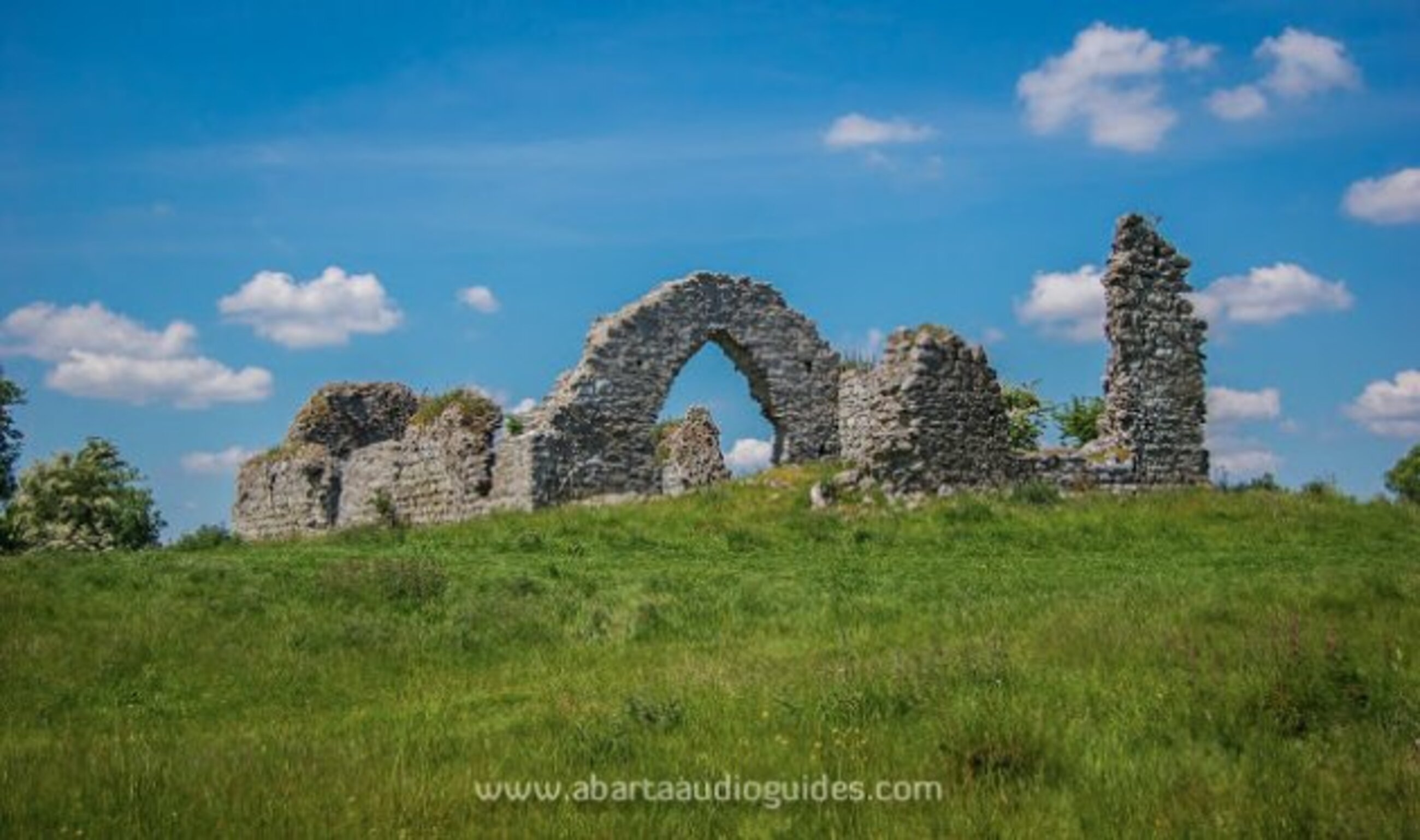 Settlement desertedSettlement deserted, medieval · 216 yd
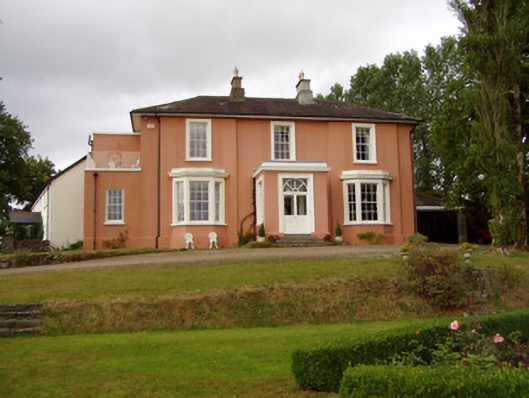 Templenoe Househouse · 249 yd
 Cregg Castle (in Ruins)Castle, tower house · 604 yd
 Cregg Olympryhouse · 676 yd
 Enclosure in Cregg NorthEnclosure · 705 yd
 Castle Hyde (in Ruins)Castle, tower house · 1.3 mi
 Coolmucy WoodWood · 2.0 mi
 Cappagh XViewpoint · 2.4 mi
 Johnson's WoodForest · 2.5 mi
 Blackwater (Avondhu) WayWalking route · 3.0 mi
 Liam BurkeMemorial · 3.3 mi
 Graveyard in BoherashGraveyard · 3.4 mi
Other information
Photo: Credit not shown in the picture search · Rights wording not checked; contact us if this picture should be removed