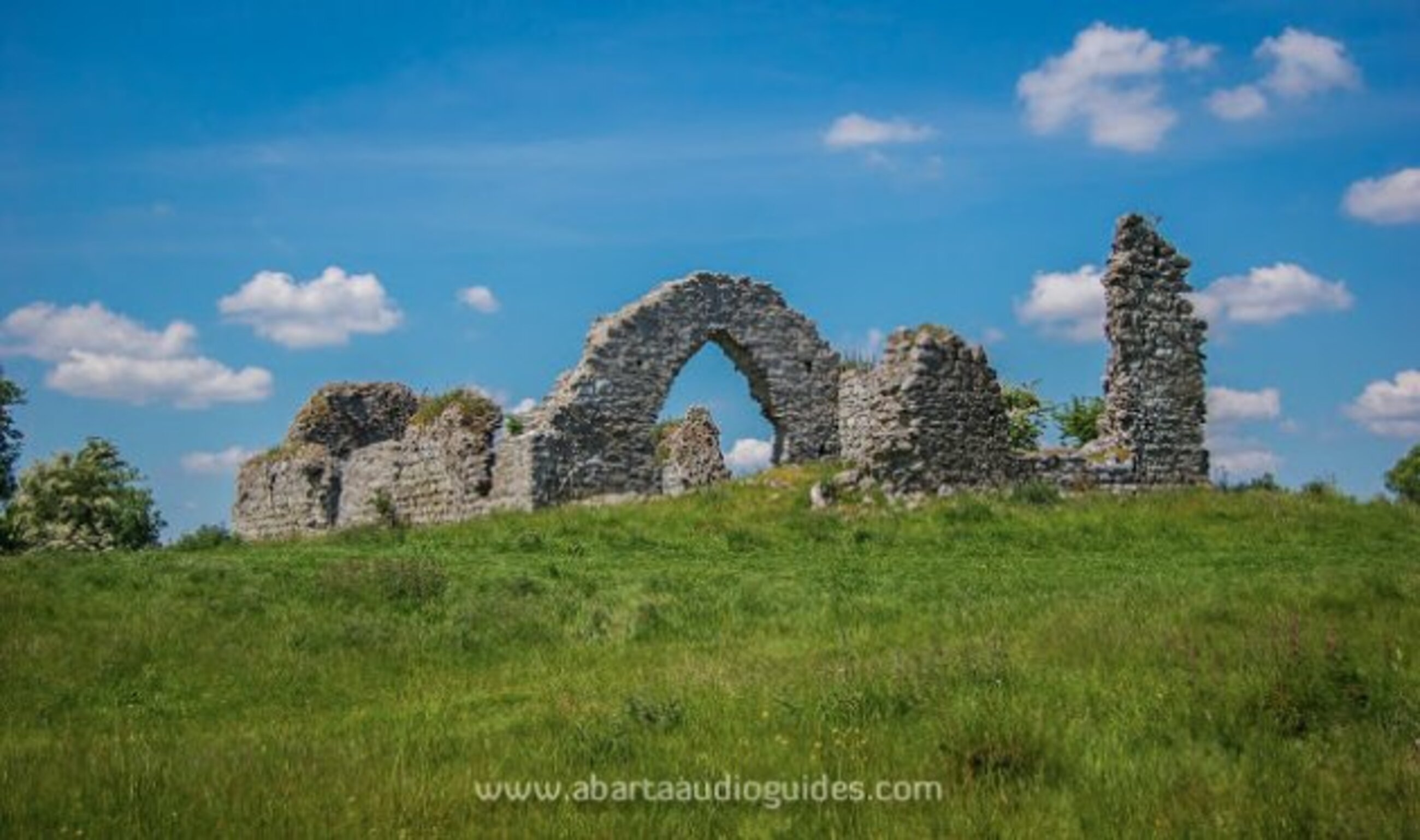
What is recorded here
In pasture, to W of roadway. According to local information,'church and village' located to W of N-S roadway, c. 350m N of Fermoy-Mallow road. Roadway shown on 1842, 1905 and 1935 editions of OS 6-inch map as widening out for stretch of 150m adjacent to site; pond at S end of road; maps also show numerous irregularities possibly indicating old entrances on W side of road, S of widened area. No visible surface trace of site. Lewis (1837, vol. 2, 289) mentions 'village of Templenoe'. According to Power (1932, 75), village grew up on site of cill which he equates with ancient site of parish church of Litter. Other locations are also put forward for location of Litter church (CO035-062---; CO035-01702-).
The above description is derived from the published 'Archaeological Inventory of County Cork. Volume 4: North Cork' (Dublin: Stationery Office, 2000). In certain instances the entries have been revised and updated in the light of recent research.
Date of upload/revision: 14 January 2009
The monument record does not grant public access. Check the route and ask the landowner before entering private land.
- What survives
- Recorded monument
Places near here
 Cliff-edge fort in TemplenoeCliff-edge fort · 216 yd
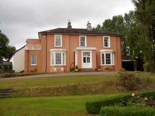 Templenoe Househouse · 307 yd
 Enclosure in Cregg NorthEnclosure · 490 yd
 Cregg Castle (in Ruins)Castle, tower house · 557 yd
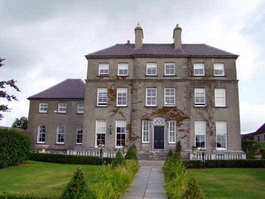 Cregg Housecountry house · 669 yd
 Castle Hyde (in Ruins)Castle, tower house · 1.2 mi
 Coolmucy WoodWood · 2.1 mi
 Cappagh XViewpoint · 2.5 mi
 Johnson's WoodForest · 2.5 mi
 Blackwater (Avondhu) WayWalking route · 3.0 mi
 Graveyard in BoherashGraveyard · 3.3 mi
 Liam BurkeMemorial · 3.4 mi
Other information
Photo: Credit not shown in the picture search · Rights wording not checked; contact us if this picture should be removed