What is recorded here
Cliff-edge fort in Doon West stands on a 200-foot slope above Cunnihish Bay, its crescent shape defined by two banks and a deep fosse. Inside, a long mound and a stone-lined opening at the cliff edge hint at a hidden passage, while a wide causeway still leads toward the entrance. The sea may have carried people through that dark gap before the land closed around them.
This site, situated above the bay of Cunnihish S of Doon Head, lies on the edge of a steep slope 200 feet high. On the S side of this promontory lies another promontory fort known as Stack's (KE004-018----). This site can be described as a crescent-shaped fort which consists of two well-defined banks and an intervening fosse. The outer bank has been defaced by the erection of later field fences. The fort measures a maximum of 92m externally E-W and 55m N-S.
The fosse is wide and deep, though to the SE, where the causeway leads in towards the entrance, it is more shallow; here it measures about 3.2m deep, while elsewhere it ranges from 3.4m to 4.5m deep. The width of the fosse to the E measures 4m, while to the W it measures 4.6m.
The inner bank is high and steep and ranges in width at the base from c 14m to 18m; it rises between 5.3m and 5.7m above the fosse, and 1.8m and 3.5m above the interior. The maximum internal diameter measures 36m N-S and 50m E-W. In the N sector of the interior is a mound measuring c12m x 3.6m internally, and this could possibly suggest a Man-made underground passage. Immediately S of this is an oval mound measuring internally 7m x 4.6m. On the 1841 OS map, 'cave' is marked on the E side of the outer ring. On the interior side of the outer bank, just at the cliff edge, an opening is discernible, revealing stonework which possibly suggests an entrance/exit to a Man-made underground passage (KE004-011001-). The entrance to the interior of the fort measures 3m at the inner bank; there is a causeway leading to this entrance which measures c11m wide and over 25m long.
The above description is derived from C. Toal, ‘North Kerry Archaeological Survey’. Dingle. Brandon in association with FAS Training and Employment Authority (1995), no. 105. In certain instances the entries have been revised and updated in the light of recent research.
Date of upload: 2 August 2013
A cliff-edge fairy fort (ringfort/rath) located on a steep promontory above Cunnihish Bay, likely dating to the early medieval period. It is associated with local folklore of fairy hauntings common to such sites in the region.
The monument record does not grant public access. Check the route and ask the landowner before entering private land.
- What survives
- Recorded monument
Places near here
 Man-made underground passage in Doon WestMan-made underground passage · 32 yd
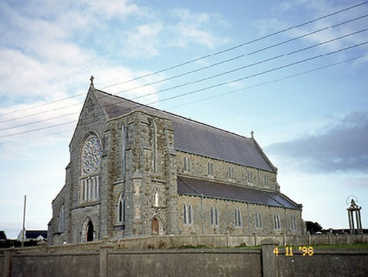
 Doon Catholic Churchchurch/chapel · 315 yd
 Doon Castle (in ruins)Castle, unclassified · 583 yd
 Doon PointHeadland · 711 yd
 Nuns' BeachBeach / strand · 810 yd
 Dookeenee CastleCastle · 1030 yd
 Ballybunion Cliff PathWalking route · 1301 yd
 ToberreendoneyHoly well · 1376 yd
 Bromore CliffsCliff · 1424 yd
 Ladies' BeachBeach / strand · 1469 yd
 Saint John's Catholic Churchchurch/chapel · 1469 yd
 PulleenIslet · 1.1 mi