
What is recorded here
Half-built and half-swallowed, the fort in Cloonty still holds its shape on the eastern bank. A low earthen ridge curves around grass and rushes while the western edge drops into the stream, as if the marsh took back every inch it could. Across the water another enclosure waits, mirroring the first. Together they suggest a place where people lived beside danger, using the cliff and the flood as much as their own hands.
On a low ridge running along the E bank of a stream, in generally marshy terrain. A roughly D-shaped area (26m N-S; 18m E-W) enclosed NW->SW by an earthen bank (int. H 0.6m; ext. H 0.9m), with an external fosse (D 0.4m; Wth 1.6m) NW->NE. The relatively straight W side is defined by a natural scarp (H 2m) forming the E bank of the stream. The enclosing bank is very low at SE (Wth 4m). The interior is level and covered by short grass and rushes. A similar enclosure lies directly across the stream to the SW (LI018-091---).
Compiled by: Denis Power
Date of upload: 26 August 2011
The monument record does not grant public access. Check the route and ask the landowner before entering private land.
- What survives
- Recorded monument
Places near here
 Mound in MoneymohillMound · 933 yd
 Moneymohill National Schoolschool · 1093 yd
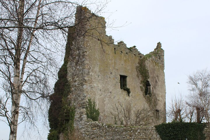 Kyleroe Fort - HachuredFairy fort / earthen ringfort · 1470 yd
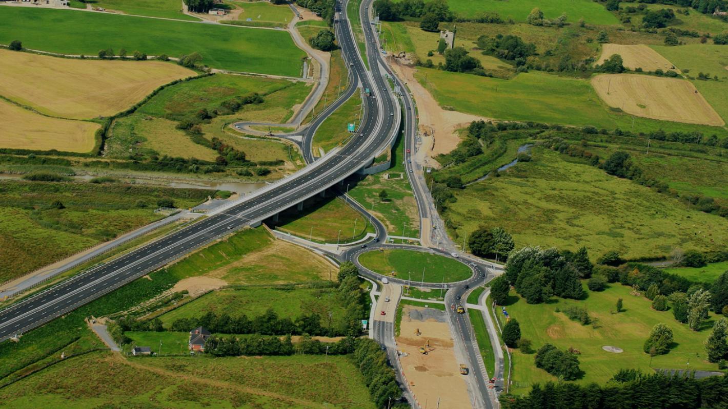 RoadRoad, road/trackway · 1.5 mi
 Castle (Site of)Castle, unclassified · 1.7 mi
 Shanid Castle (in ruins)Castle, Anglo-Norman masonry castle · 1.7 mi
 TobercloonaghSpring · 2.9 mi
 Prospect HillMountain / peak · 3.4 mi
 Monterey CypressMonterey Cypress · 3.7 mi
 Foynes Flying Boat & Maritime MuseumMuseum · 4.6 mi
 Foynes Island ViewpointViewpoint · 4.7 mi
 Battery PointHeadland · 5.1 mi
Other information
Photo: Credit not shown in the picture search · Rights wording not checked; contact us if this picture should be removed