DDiscover AloneMapAbout

Cleggan Tower

Signal tower
Computer-made picture that does not show Cleggan TowerNot a photo of this monument
Computer-made picture. It does not show this monument. · Report the wrong picture

The monument record does not grant public access. Check the route and ask the landowner before entering private land.

What do you know about this place?Tap to add a comment or ask a question

What you write will be public.

What is recorded here

Situated at the east edge of the summit area of Cleggan Hill, a steep ridge that extends along the N side of Cleggan Bay (147m OD). The ground slopes steeply down to the E immediately beyond the site. The surrounding area consists of unenclosed blanket bog, with two small lakes to the E. The signal tower has…

Read the whole record
Situated at the east edge of the summit area of Cleggan Hill, a steep ridge that extends along the N side of Cleggan Bay (147m OD). The ground slopes steeply down to the E immediately beyond the site. The surrounding area consists of unenclosed blanket bog, with two small lakes to the E. The signal tower has unobstructed views in all directions. The signal tower is located c. 484m NE of the coastline at its closest point. The signal tower to the S, Bunowen Hill (GA049-017002-), located c. 17.2kms to the S, has been demolished and can no longer be seen from this location; Inishturk Signal Tower (MA094-027----), County Mayo, located c. 15.5kms to the N, now survives as a low ruin and is no longer visible from this location at Cleggan Hill. The signal tower at Cleegan is located c. 765m N of a court tomb (GA022-014----) sited adjacent to the coastline along the N side of Cleggan Bay, and c. 945m SE of a holy well (GA009-006-) indicated as 'Tobernaseachtinnean' on the Ordnance Survey first ed. six-inch map (c. 1837). The remains of an early nineteenth-century (c. 1806) originally two-storey square-plan signal tower (int. dims. 4.27m N-S x 4.27m E-W; wall H 4.36m to N, wall H 3.57m to E), built with randomly coursed rubble stone masonry, and having a slight base batter. The signal tower is now a low ruin and only the foundations and limited short sections of the ground floor now survive upstanding (mainly to the N and E). Local information (supplied by Caroline Cosgrove) indicated that the signal tower was reasonably complete until the mid-20th Century but suffered a catastrophic collapse when it was struck by lightning during a storm (in 1960s). Several historic photographs exist that show the tower to have been a neat structure, very similar in form to the example seen at Lettermullan Island Signal Station (GA089-013----), County Galway. The walls of the square signal tower face N, E, S, and W. The S wall has entirely collapsed, although it remains visible at ground level. Only the central portion of the W wall survives above ground level, where it has a max H of 2.5m. Only the E and N walls retain internal wall faces, with surviving sections of lime render evident in places. The N wall features a ‘pillar’ of stonework in the centre that was the dividing wall between two ground-floor windows. At the E end of the N wall there is a square-sectioned vertical drainage channel. These two features indicate that the N and S elevations featured the window openings (usually paired), that the E elevation featured the fireplaces, chimney flue, and chimneystack, and that the W elevation contained the central doorway at first floor level. The only internal feature visible on the W is a row of joist holes located very close to the internal ground\floor level, indicating the likely presence of an infilled semi-basement below the current ground surface. The signal tower is surrounded by a substantial spread of rubble (measuring c 50m E-W x 30m N-S; the remains of the signal tower are located towards the W end of this rubble spread, suggesting that the tower collapsed mainly to the E. The signal tower was originally surrounded by a small enclosure that is now defined by a grassy bank with a narrow line of rubble stone running down its centre. This suggests that the enclosure was originally marked by a narrow rubble stone wall that has subsequently collapsed and become grassed over. However, only an L-shaped section of bank (Wth c. 2m) and rubble stone wall (Wth. c. 0.6m) to the S (L c. 21m E-W) and W (L c. 11m N-S) of the signal tower is currently visible to site. The N and E sections of the enclosure wall\bank are likely hidden beneath the rubble spread that now surrounds the tower; although, given the steep nature of the ground at the E, no boundary wall may have been required on that side of the site. The enclosure is smaller than those typically found surrounding signal towers, and its extent was probably limited by the local topography. The ruins of a rectangular building (int. dims. 6.9m E-W, 3.5m N-S; wall H 1.22m) with mortared rubble stone walls are located c. 39.8m W of the signal tower. The remains of this building are now surrounded by a dense rubble spread (spread c. 14.1m E-W x 7.95m N-S). This building is shown on the Ordnance Survey first ed. six-inch map (surveyed 1838-9) and may have been a contemporary element of the Cleggan Hill Signal Station. A lime kiln is indicated on Ordnance Survey first ed. six-inch map (surveyed 1838-9) immediately NW of the signal tower; its likely location is now concealed by the rubble spread. The signal tower was part of a system of over 80 signal stations constructed by the British Board of Ordnance in the first decade of the 19th century to warn of the approach of a French invasion fleet. Signalling between sites was accomplished using a naval signal post. The system formed a continuous chain from Dublin Bay running clockwise all the way around the coast to Malin Head in County Donegal. It was abandoned by the mid-1810s when the threat of a French invasion diminished (Kerrigan 1995, 157-66).

From the National Monuments Service (Archaeological Survey of Ireland) record GA009-007

Places near here

Photo credits
  • National Inventory of Architectural Heritage
  • Jonathan Wilkins, Geograph · CC BY-SA 2.0
  • Maker not stated on source page, commons.wikimedia.org
  • Maker not stated on source page, www.dreamstime.com
  • Maker not stated on source page, tr.pinterest.com
  • Maker not stated on source page, www.historyhit.com
  • Maker not stated on source page, www.pinterest.com
Cleggan HouseHouse · 843 yd

Explorer Tom Cleggan House overlooks the bay and still smells faintly of tea from the Twining family who never quite left the party.…

ClegganVisitor information · 1518 yd

Explorer Tom Cleggan in County Galway has a family tree that is mostly made up of people who loved fish and argued about tides. It…
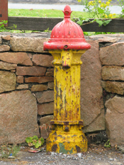
water pump1561 yd

Explorer Tom Water pump in Knockbrack would post a selfie with an acorn finial captioning it 'living my best rustic life.' It gave…

Wild Atlantic Way: Cleggan HarbourVisitor information · 1582 yd

Explorer Tom Wild Atlantic Way: Cleggan Harbour is currently stuck in a fairy dispute over who gets to park their tiny little…

bridge1655 yd

Explorer Tom Bridge in Cleggan was nearly sold to a horse trader for a pittance last Tuesday. The lighter voussoirs give it some…

Standing stoneStanding stone, pair · 1.1 mi

Explorer Tom Ballynew hill has two quartz slabs incorporated into a modern field bank, which feels like a bit of a betrayal for…
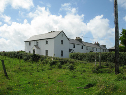
Cleggan Coastguard StationCoastguard station · 1.1 mi

Explorer Tom Cleggan Coastguard Station is perched on the cliff like it’s ready to surf any wave coming in. Smugglers used to sneak…

Standing stone in Ballynew (ballynahinch By.)Standing stone · 1.1 mi

Explorer Tom This one in Ballynew is leaning heavily to the south-southeast, looking like it’s about to tip over into the bog. It…

Megalithic tomb in SheeaunsMegalithic tomb · 1.3 mi

Explorer Tom Megalithic tomb in Sheeauns overlooks Cleggan Bay and is partly incorporated into a field wall. It’s got a polygonal…
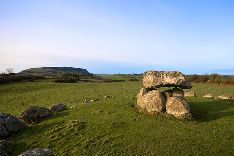
Megalithic tomb in MoorneenMegalithic tomb · 1.3 mi

Explorer Tom Megalithic tomb in Moorneen is just a name on a list right now, waiting to be discovered by someone with a shovel and a…

Court tomb in MoorneenCourt tomb · 1.3 mi

Explorer Tom Stand on the spot at Court tomb in Moorneen and imagine the gossip it's heard over the centuries. It looks out over…

Cleggan Old GraveyardCemetery · 1.7 mi

Explorer Tom Cleggan Old Graveyard claims it’s older than the hills around it, which is a bold and possibly exaggerated claim to…

More archaeology and monuments in County Galway · All of County Galway

Add to this placeAdd a picture Add a detailed tip Add a story

Explore the map1,095,414 places to discover

Next place · or swipeCleggan House