What is recorded here
Road bridge (long axis E-W) spanning the Cleady River. Built of random rubble sandstone. Five segmental arches with roughly shaped voussoirs; second arch from E spans river with concrete platform on upstream side channelling water under this arch and rendering the others dry. Four low pointed cutwaters on upstream side of piers. Bridge has been extended recently on S side and arches have been underpinned. Upright stone coping visible under recent concrete coping on surviving N parapet.
Compiled by: Elizabeth Byrne, Ursula Egan and Sheila Ronan, Archaeological Survey Unit, University College, Cork.
Date of upload: 30 May 2011
The monument record does not grant public access. Check the route and ask the landowner before entering private land.
- What survives
- Recorded monument
Places near here
 R.C. Chapel (Site of), Caher WestChurch · 59 yd
 Shanagarry Castle (Site of), Caher WestCastle, unclassified · 409 yd
 Lead Mine (Disused)., Caher WestMine, lead · 1030 yd
 Castle, unclassified in UnknownCastle, unclassified · 1666 yd
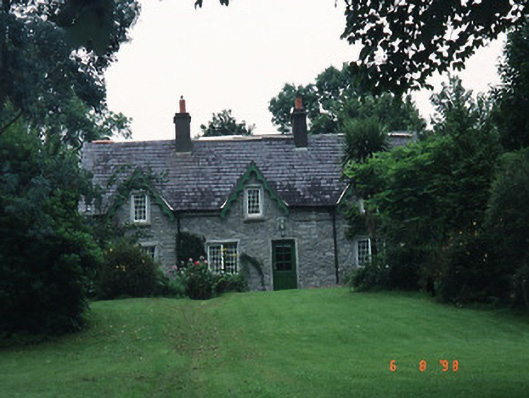 house, Caherhouse · 1720 yd
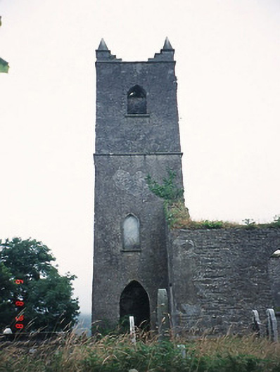 Kenmare Church, Killowen Roadchurch/chapel · 1.5 mi
 The Lodge WoodWood · 2.0 mi
 Monterey Pine, Reenagross Woodland Park, Co. KerryMonterey Pine · 2.1 mi
 StrickeenMountain / peak · 2.2 mi
 Mill Cove Gallery / John Brennan StudioGallery · 2.2 mi
 Kenmare Heritage Town - Main StreetMemorial · 2.2 mi
 Kenmare Tourist Information OfficeVisitor information · 2.2 mi