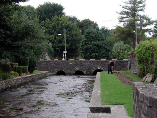
What is recorded here
Four-arch rubble limestone road bride over river, c.1840. Random rubble limestone walls with rendered coping to parapets. Series of four round arches with squared rubble limestone voussoirs, and squared rubble stone soffits having lime mortar. Sited spanning Greagagh River with grass banks to river having random rubble stone retaining walls.
A well-proportioned road bridge forming an attractive feature in the centre of Clashmore, and on the Greagagh River. Constructed in a traditional manner employing locally-sourced limestone, the bridge assimilates well into the surrounding landscape. The construction of the arches, which have retained their original profile, identifies the civil engineering heritage significance of the composition.
From the Buildings of Ireland (National Inventory of Architectural Heritage) record 22826002
This does not grant access. Most recorded buildings are privately owned; view them only from public ground unless the owner allows entry.
Places near here
Photo credits
- National Inventory of Architectural Heritage
- MonikaLisa2, Wikimedia Commons · CC BY-SA 4.0
- Mike Searle, Geograph · CC BY-SA 2.0
- dougf, Geograph · CC BY-SA 2.0
- Gfwc70, Wikimedia Commons · CC BY-SA 4.0
- Willow, Wikimedia Commons · CC BY 2.5
- john berry, Geograph · CC BY-SA 2.0
- Sitomon, Wikimedia Commons · CC BY-SA 2.0
- E. H. (E. Hayden), Wikimedia Commons · Public domain
- Hywel Williams, Wikimedia Commons · CC BY-SA 2.0
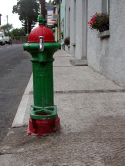 Historic buildingOfficially recorded historic building · 47 yd
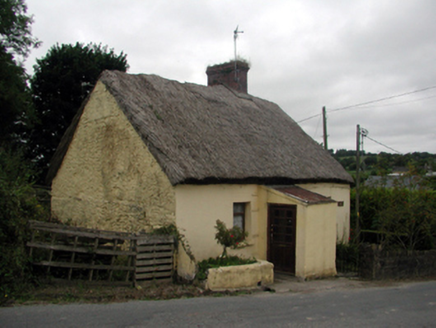 The ThatchHouse · 52 yd
 Clashmore Heritage CentreHeritage attraction · 157 yd
 Molana AbbeyHeritage attraction · 2.9 mi
 Templemichael Castle (in ruins)Castle, tower house · 2.9 mi
 Site of ChurchChurch · 2.9 mi
 European ash3.1 mi
 Ferry PointViewpoint · 3.8 mi
 European Yew3.9 mi
 Caliso BayBeach / strand · 4.7 mi
_(cropped).jpg/250px-Strancally_Castle,_1834_(IA_jstor-30004451)_(cropped).jpg "Photo: E. H. (E. Hayden), Wikimedia Commons · Public domain") Strancally CastleCastle · 4.7 mi
Strancally CastleCastle · 4.7 mi Ogham StonesOgham stone · 4.7 mi
More historic places in County Waterford · All of County Waterford
What do you know about this place?