What is recorded here
Situated at the highest point of and at the centre of an E-W ridge. It is described as ‘Clark’s Fort’ in gothic script on the 1836 and 1908 editions of the OS 6-inch map. This is a circular grass and rush-covered area (diam. 33.2m E-W) defined by an earthen bank (Wth of base 6-6.7m; int. H 0.5-0.6m; ext. H 2.1-2.3m) with some bushes and a complete outer fosse (at E: Wth of top 6.2m; Wth of base 2.7m; ext. D 0.9m; at W: Wth of base 0.8m; ext. D 0.5m). There is a modern entrance and causeway at W but the original entrance is not identified. The interior is overlain by an ENE-WSW field bank S of the centre.
The above description is derived from the published 'Archaeological Inventory of County Meath' (Dublin: Stationery Office, 1987). In certain instances the entries have been revised and updated in the light of recent research.
Compiled by: Michael Moore
Date of revision: 3 September 2018
Clarks Fort, College is a circular, grass and rush-covered ringfort, likely dating to the early medieval period. It appears as "Clark’s Fort" in gothic script on 1836 and 1908 Ordnance Survey maps, suggesting a long-standing local recognition, though specific folklore or historical events associated with the site are not recorded.
The monument record does not grant public access. Check the route and ask the landowner before entering private land.
- What survives
- Recorded monument
Places near here
 Coogan FortFairy fort / earthen ringfort · 1380 yd
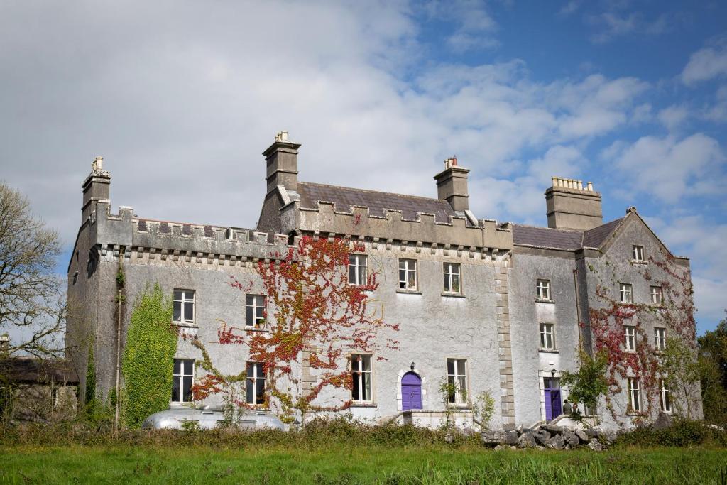 LisnagunnellFairy fort / earthen ringfort · 1566 yd
 KillaruggleChurch · 1.0 mi
 Cloghreagh Castle in RuinsCastle, unclassified · 1.6 mi
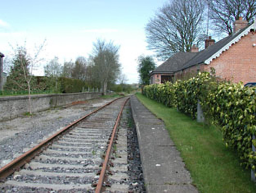 rails (section of)rails (section of) · 1.8 mi
 GNR Christmas TreesForest · 2.0 mi
 Gallows HillMountain / peak · 2.0 mi
 White WoodWood · 2.1 mi
 MoatCastle, motte and bailey · 2.4 mi
 Nobber GreenwayMemorial · 2.5 mi
 Drumran HillMountain / peak · 3.2 mi
 In Memory of Our DadMemorial · 4.5 mi
Other information
Photo: Credit not shown in the picture search · Rights wording not checked; contact us if this picture should be removed