What is recorded here
Clare Castle stands as a ruined tower house on a steep Westmeath hillock, marking the place where Richard Dalton and kinsmen killed Rory O'Melaghlin during a nocturnal assault in 1544. Its thick walls once housed soldiers preparing for the Siege of Ballymore in 1691, but collapse has reduced much of that martial grandeur to rubble and memory. The remaining stones still overlook the pasture, preserving the danger and visibility that made the hilltop useful for watching, fighting and remembering.
Clare Castle also known as Mullaghcloe situated on NE edge of a steep sided hillock, in pasture, with extensive views in all directions. In the year 1544 the Annals recorded that 'Rory O'Melaghlin was slain at Clartha [Clare], by Richard Dalton and his kinsmen, in a nocturnal assault' (O'Donovan 1856). Tower house type castle depicted on the 17th century Down Survey map of Killare parish (NLI MS 723/58). On this map the castle is shown standing on church lands belonging to the Bishop of Meath (ibid.). The terrier of this parish map stated that in 'Clare, Dooneild, Rathskeagh, Killinbrack, Bishopsland Ballikenny on each of them stands a Castle' (ibid.). Castle served as the headquarters of Generals de Ginckle and Douglas when preparing for the Siege of Ballymore in 1691 (Woods 1907, 5). Poorly preserved castle ruins standing on NE angle of bawn (WM024-078001-). Castle ruins described in 1971 and 1977 as a rectangular-shaped building defined by a stone wall (H 2-3m) which is reduced to wall footings at NE and E. There are no dressed stones visible in any of the upstanding walls. The entrance is in the W wall and a mural stairs in NW angle from which upper floors now destroyed were accessed. The interior of the castle is filled with collapsed rubble to first floor level. A bawn (WM024-078001-) adjoins the castle to W. Castle described in 2004 as a 'tower measuring 12.4m by 8m over walls 1.8m thick partly projects out from the east side of a hill-top bawn 40m by 50m marked by a stoney bank. The only feature is a very broken basement loop at the west end' (Salter 2004, 147). Castle visited by Paul Gosling on the 23/04/2024 who noted that part of the north-east corner of the tower house had collapsed very recently (pers. comm. P. Gosling 23/04/2024).
See attached plan and profile of monument surveyed and drawn by the ASI.
Compiled by Alison McQueen, Vera Rahilly and Caimin O’Brien.
Date of upload: 13 August 2019
Built by the O'Melaghlin (O'Malley) family, likely in the 13th or 14th century, Clare Castle is remembered for the death of Rory O'Melaghlin in 1544, a significant event noted in the Annals, highlighting its role in local Gaelic history.
This remains an important historical record, but the official description says the monument is no longer visible or has been destroyed. The monument record does not grant public access. Check the route and ask the landowner before entering private land.
- What survives
- No visible remains or recorded as destroyed
Places near here
 Bawn in ClareBawn · 16 yd
 Hut site in ClareHut site · 879 yd
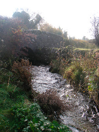 bridgebridge · 1510 yd
 wellwell · 1.0 mi
 Plary Monastery (in Ruins)Castle, tower house · 1.4 mi
 Japanese pagoda treeJapanese pagoda tree · 2.0 mi
 Corran IslandIslet · 2.2 mi
 Sam's ParkForest · 2.3 mi
 KnockastiaMountain / peak · 2.4 mi
 Hill of UisneachMountain / peak · 3.6 mi
 Dún na Sí Heritage CentreMuseum · 6.2 mi