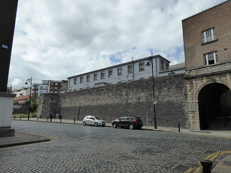
What is recorded here
Squared-and-snecked rubble limestone section of southern perimeter of City Wall, built c. 1250, with battered base, having octagonal-plan bastion to west end with batter, Ship Street Gate to Dublin Castle to east, and two-storey flat-roof commercial building to north. Somewhat overgrown to west of bastion.
This stretch of walling, to the west of Dublin Castle, is a relatively long, surviving stretch of the medieval City Wall. It forms the southern boundary of properties between the Dublin Castle complex and St. Werburgh Street. As a surviving portion of the city wall it is of considerable historical, archaeological and civic importance.
This does not grant access. Most recorded buildings are privately owned; view them only from public ground unless the owner allows entry.
Places near here
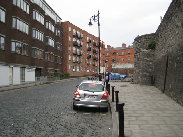 Cole's Bastiontown/city walls · 23 yd
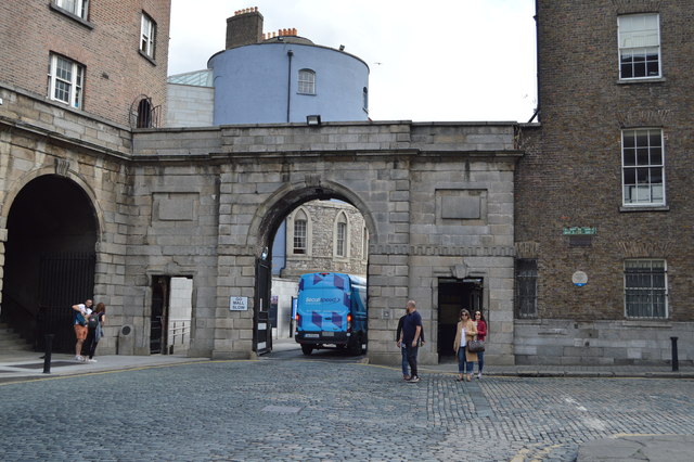 Dublin Castle (Ship Street Gate)gates/railings/walls · 27 yd
 Graveslab in Unknown TownlandGraveslab · 51 yd
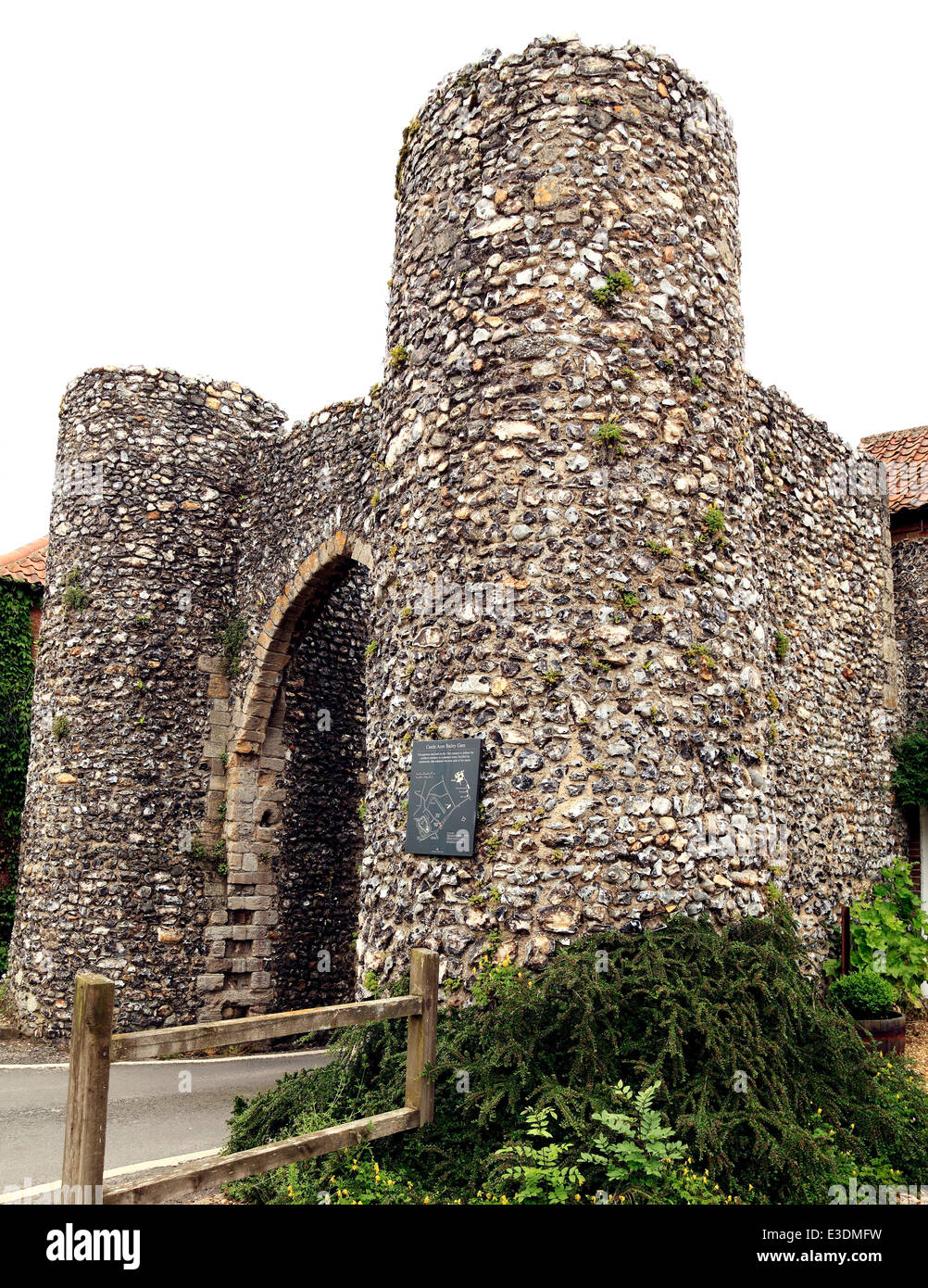 Town defences in Unknown TownlandTown defences · 98 yd
 St. Michael's le Pale Church YardMemorial · 103 yd
 Veronica GuerinHeritage attraction · 108 yd
 CastleCastle, Anglo-Norman masonry castle · 122 yd
 Special Olympics MemorialMonument · 138 yd
 Dublin Castlegates/railings/walls · 149 yd
 Newcomen BankVisitor information · 195 yd
 Battle of DublinMajor battlefield · 198 yd
 Tourist Information CentreVisitor information · 253 yd
Other information
Photo: National Inventory of Architectural Heritage · Website use allowed for educational or private purposes with source credit