
What is recorded here
This graveslab is situated in the SE part of the graveyard attached to St Werburgh’s Church (DU018-020079-) close to its E boundary wall. It consists of a sub-rectangular slab bearing the much-weathered outline of a ringed cross, the shaft of which extends the full length of the slab. There is no evidence for an inscription. In style, the graveslab may be dated to the 13th/14th century. (pers. comm. Joe Cully, 1 October 2014)
The attached images of the graveslab (DU018-417----_01.jpg and DU018-417----_02.jpg) were taken by and are uploaded courtesy of Joe Cully.
Compiled by: Paul Walsh
Date of upload: 22 October 2014
The monument record does not grant public access. Check the route and ask the landowner before entering private land.
- What survives
- Recorded monument
Places near here
 Castle Stepssteps · 10 yd
 Dublin Castle (West Range)office · 40 yd
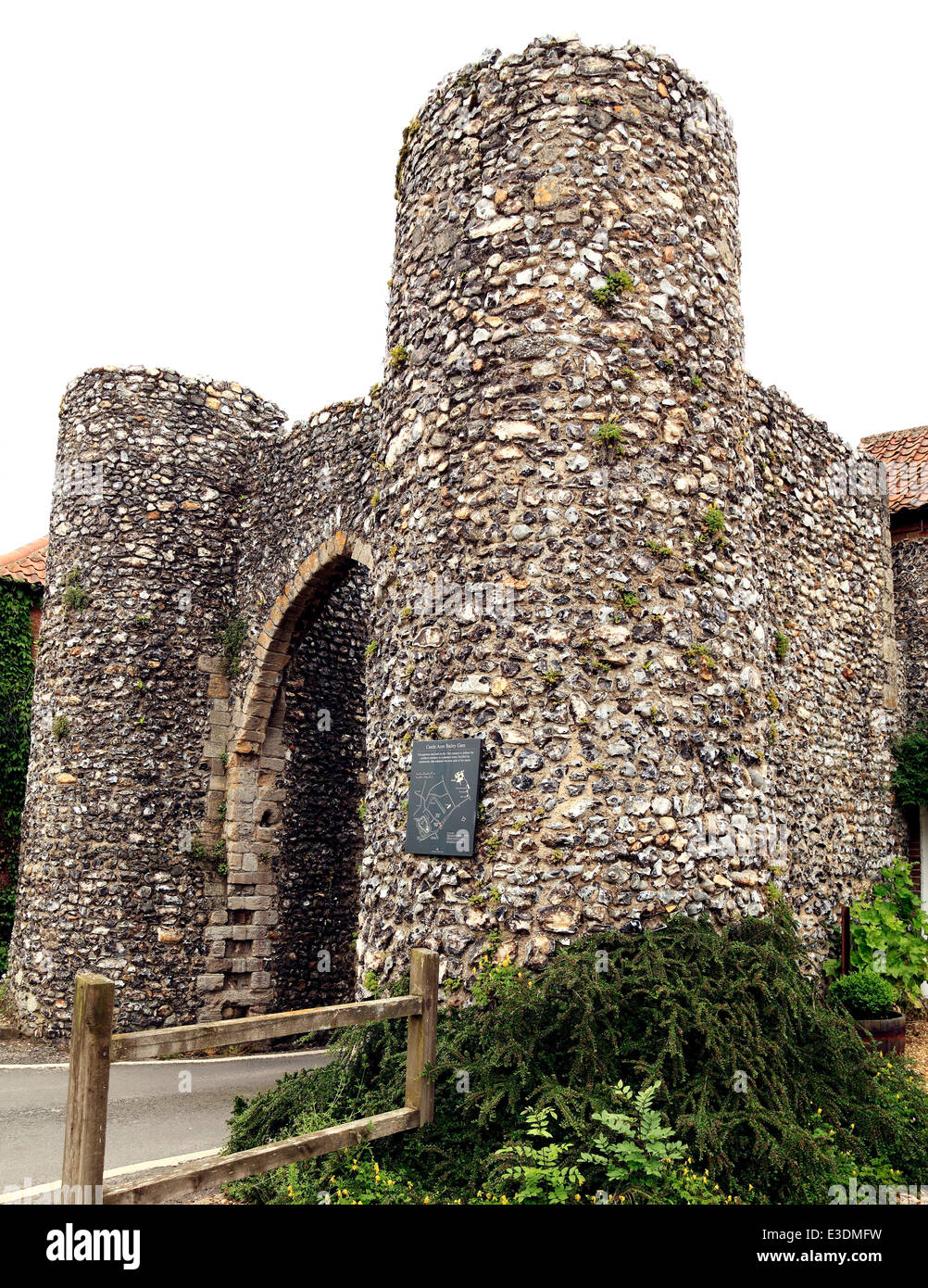 Town defences in Unknown TownlandTown defences · 51 yd
 CastleCastle, Anglo-Norman masonry castle · 91 yd
 Veronica GuerinHeritage attraction · 107 yd
 Furnace in Unknown TownlandFurnace · 133 yd
 Dublin Castlegates/railings/walls · 136 yd
 St. Michael's le Pale Church YardMemorial · 146 yd
 Newcomen BankVisitor information · 147 yd
 Special Olympics MemorialMonument · 157 yd
 Battle of DublinMajor battlefield · 190 yd
 Tourist Information CentreVisitor information · 215 yd
Other information
Photo: Credit not shown in the picture search · Rights wording not checked; contact us if this picture should be removed