What is recorded here
Situated on a slight SW-facing slope, at the SW end of a rise overlooking the sea, in gently undulating sand dune pasture. Rectangular depression (dims. 3.45m NE-SW; 0.45m NW-SE; D 0.15m), slightly curved at SW end, defined by a vertical scarped edge and 18 small limestone slabs (av. L 0.3m) laid on edge. The base of the depression is level. A possible capstone (L 0.45m; Wth. 0.4m; T .02m), now broken in two halves along its width, lies flat immediately to the NW of the SW end of the depression.
Compiled by: Patrick F. O'Donovan
Date of upload: 21 April 2011
Cist in Streedagh is a small Neolithic or early Bronze Age stone burial cist, likely dating to the 2nd millennium BCE. Its location on a coastal dune suggests it may be part of a wider funerary or ritual landscape associated with early farming communities in the region.
The monument record does not grant public access. Check the route and ask the landowner before entering private land.
- What survives
- Recorded monument
Places near here
 de Cuellar Armada MonumentMemorial · 714 yd
 Enclosure in StreedaghEnclosure · 848 yd
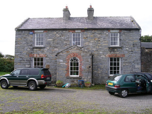 Streedagh Househouse · 906 yd
 Streedagh BeachVisitor information · 1063 yd
 StructureStructure, peatland · 1091 yd
 Atlantic SheepdogsHeritage attraction · 1.3 mi
 InishnagorIslet · 1.7 mi
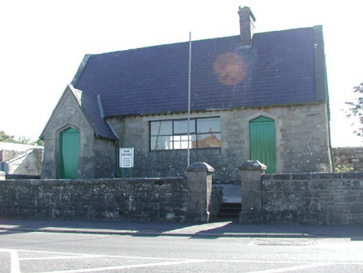 Grange Courthousecourt house · 2.0 mi
 CastleCastle, unclassified · 2.0 mi
 Connors IslandIsland · 2.2 mi
 Upperglen WoodForest · 2.8 mi
 Forester's WoodForest · 3.1 mi